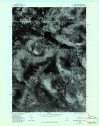
1976 Map of Moose Bog
USGS Topo · Published 1983About this map
Moose Bog and the surrounding wilderness of Oxford County are captured in this orthophotograph, which translates aerial imagery into a rectified topographic study. The landscape is defined by its complex drainage patterns, where the Magalloway River receives water from the Moose Brook and the West Branch. These watercourses carve through dense forest cover, punctuated by isolated water bodies like Barker Pond and Mountain Pond.
Find a feature on this map
8 named features on this map. Tap any name to fly to it.
Don’t see what you’re looking for? This feature index may not catch every label — zoom into the map to look around manually.
Map Details
Editions of this 1976 Moose Bog Map
This is the sole edition of this map. No revisions or reprints were ever made.
Other maps of this area

1927 · Moose Bog
USGS Topo · 1:48,000

1927 · Second Lake
USGS Topo · 1:62,500

1931 · Cupsuptic
USGS Topo · 1:48,000

1931 · Moose Bog
USGS Topo · 1:62,500

1932 · Second Lake
USGS Topo · 1:62,500

1932 · Arnold Pond
USGS Topo · 1:48,000

1934 · Cupsuptic
USGS Topo · 1:62,500

1935 · Cupsuptic
USGS Topo · 1:62,500

1935 · Arnold Pond
USGS Topo · 1:62,500

1949 · Jackman
USGS Topo · 1:250,000