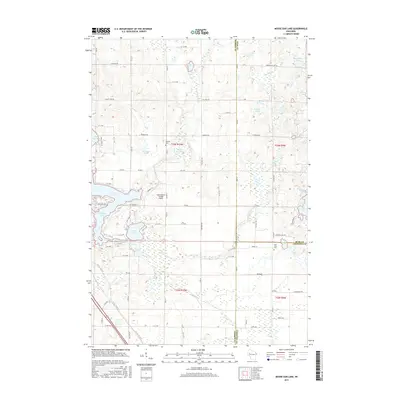
2015 Map of Moose Ear Lake
USGS Topo · Published 2015About this map
Moose Ear Lake and the surrounding wetland complex define this landscape at the intersection of Barron, Rusk, and Chippewa Counties. The area is characterized by an intricate network of water bodies and tributaries, including Tenmile Cr and Moose Ear Cr, which drain into larger basins like Tenmile Lake and Lake Chetek. This glacial terrain is dotted with smaller lakes such as Bass Lake, Jacobson Lake, and Koehler Lake, illustrating the post-glacial topography typical of north-central Wisconsin.
Find a feature on this map
88 named features on this map. Tap any name to fly to it.
Don’t see what you’re looking for? This feature index may not catch every label — zoom into the map to look around manually.
Map Details
Editions of this 2015 Moose Ear Lake Map
This is the sole edition of this map. No revisions or reprints were ever made.
Other maps of this area

1948 · Weyerhauser
USGS Topo · 1:48,000

1949 · Bloomer
USGS Topo · 1:62,500

1949 · New Auburn
USGS Topo · 1:62,500

1950 · Weyerhauser
USGS Topo · 1:48,000

1951 · Bloomer
USGS Topo · 1:62,500

1951 · New Auburn
USGS Topo · 1:62,500

1951 · Chetek
USGS Topo · 1:62,500

1953 · Rice Lake
USGS Topo · 1:250,000

1959 · Rice Lake
USGS Topo · 1:250,000
1972 · Chain Lake
USGS Topo · 1:24,000