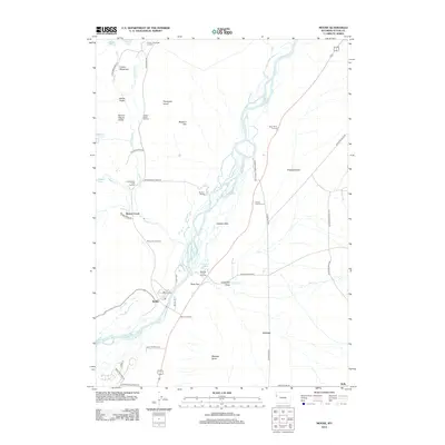
2012 Map of Moose
USGS Topo · Published 2012About this map
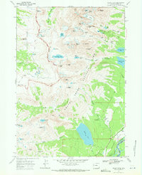
Snake River dominates the center of this Wyoming landscape, carving through the broad valley of Jackson Hole. The topography transitions from the high eastern slopes of the Teton Range near Glacier Gulch and Lupine Meadows down to the sprawling grasslands of Antelope Flats. Human settlement is concentrated along the river corridor and the historical agricultural corridor of Mormon Row, reflecting a legacy of ranching and early mountain passage.
Find a feature on this map
50 named features on this map. Tap any name to fly to it.
Don’t see what you’re looking for? This feature index may not catch every label — zoom into the map to look around manually.
Map Details
Editions of this 2012 Moose Map
This is the sole edition of this map. No revisions or reprints were ever made.
Other maps of this area

1899 · Grand Teton
USGS Topo · 1:125,000

1901 · Grand Teton
USGS Topo · 1:125,000

1955 · Driggs
USGS Topo · 1:250,000

1958 · Driggs
USGS Topo · 1:250,000

1962 · Driggs
USGS Topo · 1:250,000
1968 · Teton Village
USGS Topo · 1:24,000

1968 · Moose
USGS Topo · 1:24,000
1968 · Blue Miner Lake
USGS Topo · 1:24,000
1968 · Shadow Mountain
USGS Topo · 1:24,000
1968 · Grand Teton
USGS Topo · 1:24,000