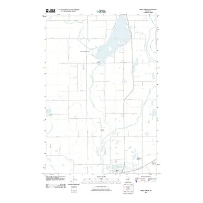
2010 Map of Mora North
USGS Topo · Published 2010About this map
Mora sits at the southern edge of this landscape, where the Snake River and Spring Brook converge near the local municipal airport. The geography is defined by a series of water management structures that regulate the region's abundant lakes and rivers, including the Knife Lake Dam and the William Peal Junior Memorial Dam on Ann Lake. These hydraulic features highlight the transition from the residential street grid of the town to the surrounding rural sections.
Find a feature on this map
50 named features on this map. Tap any name to fly to it.
Don’t see what you’re looking for? This feature index may not catch every label — zoom into the map to look around manually.
Map Details
Editions of this 2010 Mora North Map
This is the sole edition of this map. No revisions or reprints were ever made.
Other maps of this area

1953 · Duluth
USGS Topo · 1:250,000

1953 · Stillwater
USGS Topo · 1:250,000

1955 · Stillwater
USGS Topo · 1:250,000

1958 · Stillwater
USGS Topo · 1:250,000

1958 · Duluth
USGS Topo · 1:250,000

1961 · Brook Park
USGS Topo · 1:62,500

1965 · Stillwater
USGS Topo · 1:250,000

1968 · Ann Lake
USGS Topo · 1:24,000

1968 · Isle SW
USGS Topo · 1:24,000

1968 · Mora North
USGS Topo · 1:24,000