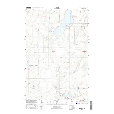
2016 Map of Mora North
USGS Topo · Published 2016About this map
The northern reaches of Mora and the surrounding Kanabec County landscape are defined by a complex network of glacial waterways and small-scale agriculture. The Snake River winds through the eastern portion of the quadrangle, joined by tributaries like Spring Brook and Bean Brook, while the Knife River feeds into the expansive Knife Lake. This 2016 survey illustrates the modern layout of the region, where residential developments like Chris Haven and several lakeside roads now skirt the shorelines that once supported timber and farming.
Find a feature on this map
84 named features on this map. Tap any name to fly to it.
Don’t see what you’re looking for? This feature index may not catch every label — zoom into the map to look around manually.
Map Details
Editions of this 2016 Mora North Map
This is the sole edition of this map. No revisions or reprints were ever made.
Other maps of this area

1953 · Duluth
USGS Topo · 1:250,000

1953 · Stillwater
USGS Topo · 1:250,000

1955 · Stillwater
USGS Topo · 1:250,000

1958 · Stillwater
USGS Topo · 1:250,000

1958 · Duluth
USGS Topo · 1:250,000

1961 · Brook Park
USGS Topo · 1:62,500

1965 · Stillwater
USGS Topo · 1:250,000

1968 · Ann Lake
USGS Topo · 1:24,000

1968 · Isle SW
USGS Topo · 1:24,000

1968 · Mora North
USGS Topo · 1:24,000