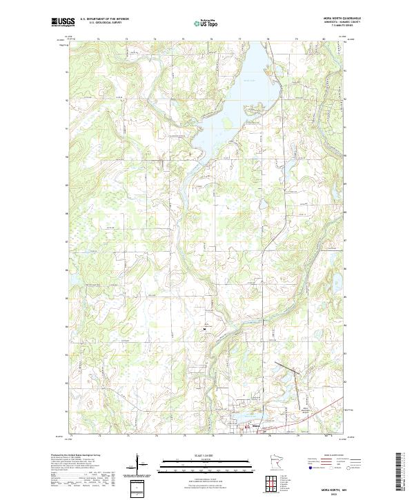
2022 Map of Mora North
USGS Topo · Published 2022About this map
The Snake River and its various tributaries define the landscape of Kanabec County in this 2022 survey. At the southern edge, the city of Mora serves as the regional hub, situated between the Mora Lake and the Mora Municipal Airport. The settlement pattern follows a grid of township roads such as 280th Ave and Co Rd 19, while the natural watercourses like the Knife River and Ann River cut through the terrain. Evidence of local history and land use is found in the Knife Lake Cem and the Carlson Game Farm further west. To the north, the sprawling Knife Lake provides a major focal point for the region, with its shores increasingly developed compared to the surrounding wetlands and timber. The presence of the Snake River Trl suggests a modern focus on recreational access to these historic waterways.
Find a feature on this map
79 named features on this map. Tap any name to fly to it.
Don’t see what you’re looking for? This feature index may not catch every label — zoom into the map to look around manually.
Map Details
Editions of this 2022 Mora North Map
This is the sole edition of this map. No revisions or reprints were ever made.
Other maps of this area

1953 · Duluth
USGS Topo · 1:250,000

1953 · Stillwater
USGS Topo · 1:250,000

1955 · Stillwater
USGS Topo · 1:250,000

1958 · Stillwater
USGS Topo · 1:250,000

1958 · Duluth
USGS Topo · 1:250,000

1961 · Brook Park
USGS Topo · 1:62,500

1965 · Stillwater
USGS Topo · 1:250,000

1968 · Ann Lake
USGS Topo · 1:24,000

1968 · Isle SW
USGS Topo · 1:24,000

1968 · Mora North
USGS Topo · 1:24,000