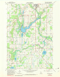
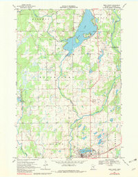
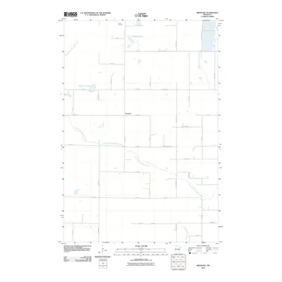
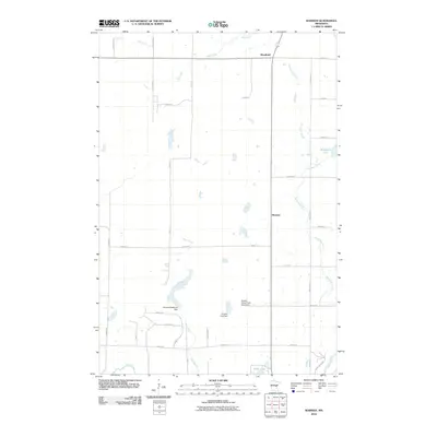
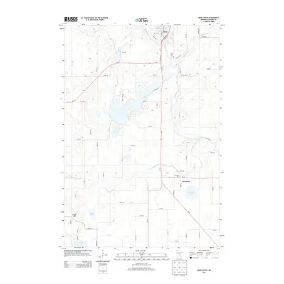
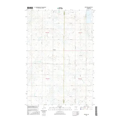
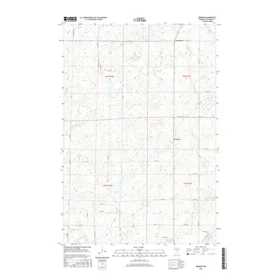
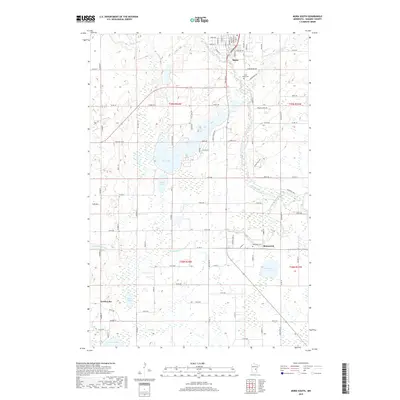
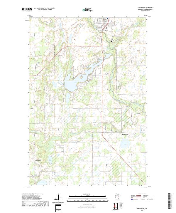
1968 Map of Mora South
USGS Topo · Published 1982About this map
The Snake River and Ann River converge near Mora, anchoring a landscape of glacial lakes and river bottomlands in Kanabec County. This late 1960s environment shows a well-established rural infrastructure, defined by the Great Northern railroad line and a network of gravel pits that suggest local industry supporting the area's growth. To the south, the settlement of Brunswick sits near the confluence of the Groundhouse River and the Snake, where the Riverside and St Marys cemeteries provide significant records for genealogical research.
Find a feature on this map
25 named features on this map. Tap any name to fly to it.
Don’t see what you’re looking for? This feature index may not catch every label — zoom into the map to look around manually.
Map Details
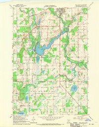
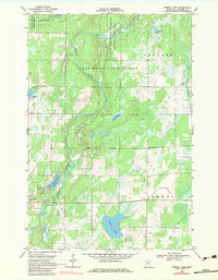
Editions of this 1968 Mora South Map
2 editions found
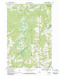
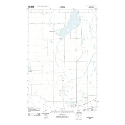
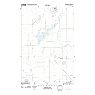
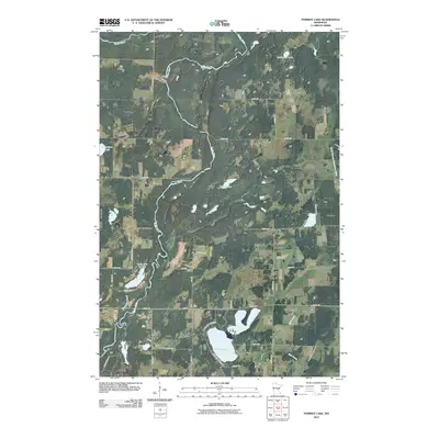
Historical Maps of Mora Through Time
36 maps found
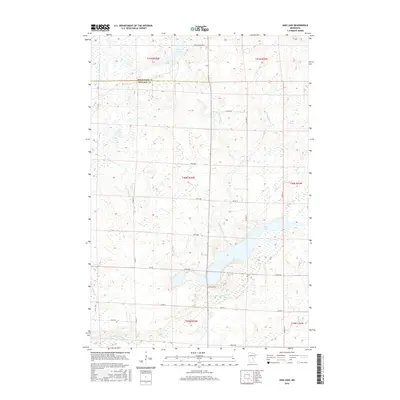
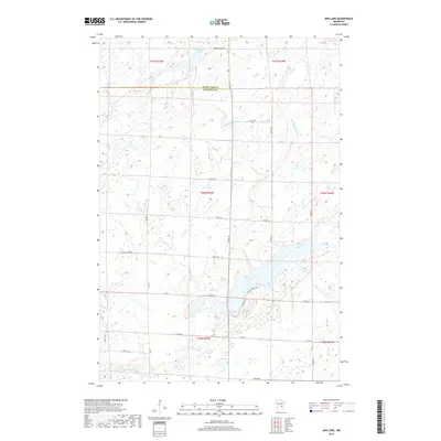
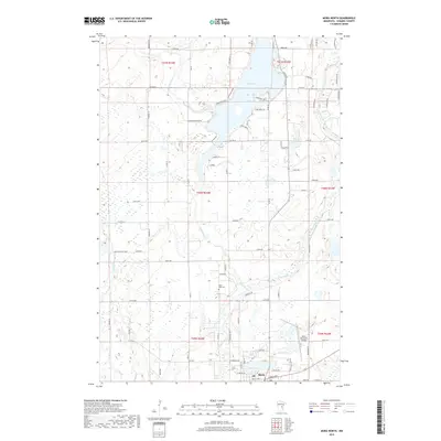
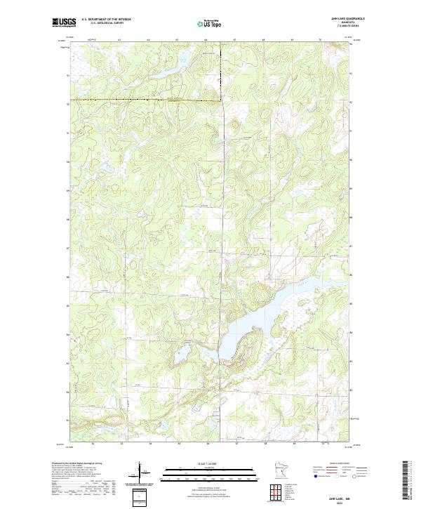
1968 Ann Lake
Kanabec County, MN
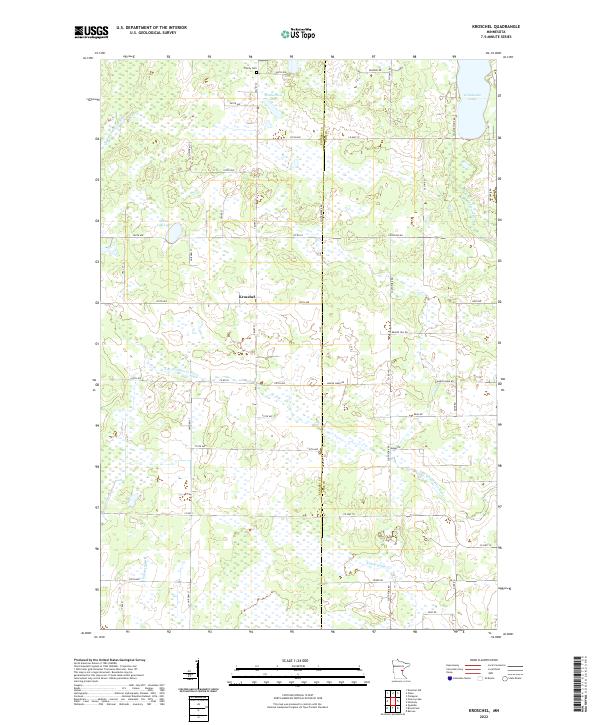
1968 Kroschel
Kanabec County, MN
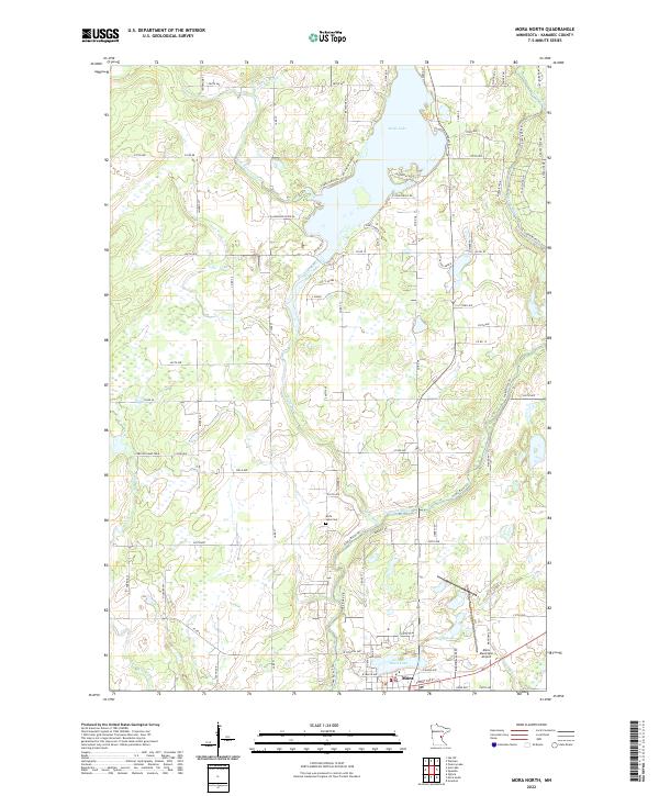
1968 Mora North
Kanabec County, MN
1968 Mora South
Kanabec County, MN
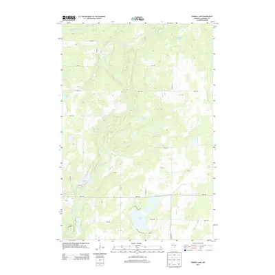
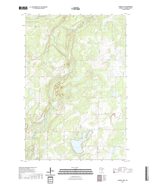
1968 Pomroy Lake
Kanabec County, MN
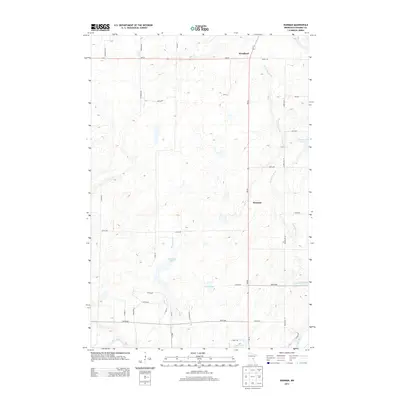
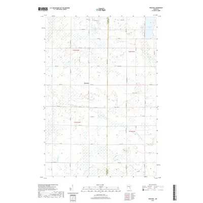
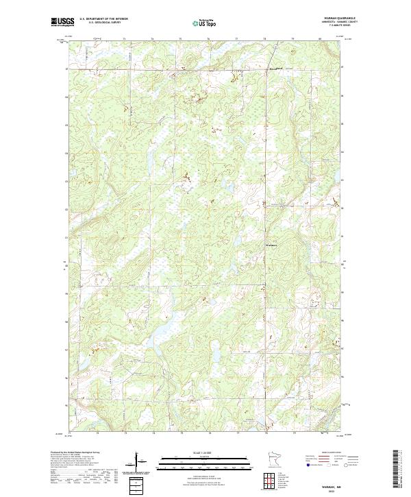
1968 Warman
Kanabec County, MN
2010 Ann Lake
Kanabec County, MN
2010 Kroschel
Kanabec County, MN
2010 Mora North
Kanabec County, MN
2010 Mora South
Kanabec County, MN
2010 Pomroy Lake
Kanabec County, MN
2010 Warman
Kanabec County, MN
2013 Ann Lake
Kanabec County, MN
2013 Kroschel
Kanabec County, MN
2013 Mora North
Kanabec County, MN
2013 Mora South
Kanabec County, MN
2013 Pomroy Lake
Kanabec County, MN
2013 Warman
Kanabec County, MN
2016 Ann Lake
Kanabec County, MN
2016 Kroschel
Kanabec County, MN
2016 Mora North
Kanabec County, MN
2016 Mora South
Kanabec County, MN
2016 Pomroy Lake
Kanabec County, MN
2016 Warman
Kanabec County, MN
2019 Ann Lake
Kanabec County, MN
2019 Kroschel
Kanabec County, MN
2019 Mora North
Kanabec County, MN
2019 Mora South
Kanabec County, MN
2019 Pomroy Lake
Kanabec County, MN
2019 Warman
Kanabec County, MN
2022 Ann Lake
Kanabec County, MN
2022 Kroschel
Kanabec County, MN
2022 Mora North
Kanabec County, MN
2022 Mora South
Kanabec County, MN
2022 Pomroy Lake
Kanabec County, MN
2022 Warman
Kanabec County, MN
Featured Locations
- Brunswick Township, MN
- Comfort Township, MN
- Mora, MN
- Brunswick, Brunswick Township
- Lewis Lake, Brunswick Township