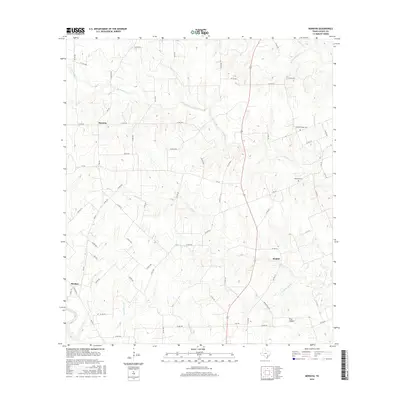
2016 Map of Moravia
USGS Topo · Published 2016About this map
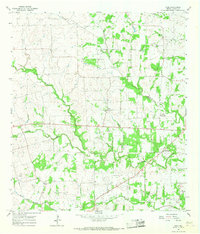
The Lavaca River and W Navidad River define the hydraulic character of this Lavaca County landscape, where small rural settlements like Moravia and Kinkler serve as local anchors. The terrain is a complex network of seasonal drainages, including Little Rocky Cr and Big Rocky Cr, which feed into the larger river systems. Genealogists and local historians will find value in the precise locations of the Andrew Chapel Cem and Williams Cem, both established near these watercourses. The transition from the more developed crossroads of Breslau to the wooded area of Pine Hollow reflects a rural economy shaped by proximity to small creek branches like Mule Spring Br and Cottonwood Br. This topography reveals the persistent importance of early Texas water sources in determining modern road placement and land use.
Find a feature on this map
70 named features on this map. Tap any name to fly to it.
Don’t see what you’re looking for? This feature index may not catch every label — zoom into the map to look around manually.
Map Details
Editions of this 2016 Moravia Map
This is the sole edition of this map. No revisions or reprints were ever made.
Other maps of this area
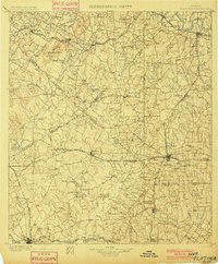
1901 · Flatonia
USGS Topo · 1:125,000
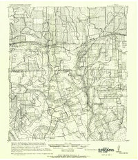
1919 · Schulenburg
USGS Topo · 1:62,500

1953 · Seguin
USGS Topo · 1:250,000

1958 · Seguin
USGS Topo · 1:250,000
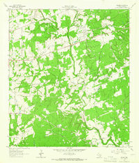
1962 · Sublime
USGS Topo · 1:24,000
1962 · Hallettsville
USGS Topo · 1:24,000
1965 · Oakland
USGS Topo · 1:24,000
1965 · Weimar
USGS Topo · 1:24,000
1965 · Schulenburg
USGS Topo · 1:24,000
1965 · Wied
USGS Topo · 1:24,000