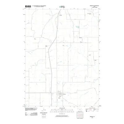
2010 Map of Moravia
USGS Topo · Published 2010About this map
Moravia serves as the primary hub in this portion of Appanoose County, where the Moravia Post Office and adjacent Hillcrest Cemetery anchor the local community. The landscape is defined by a dense network of country roads and several small settlements including Hocking, Selection, and Foster, reflecting a rural settlement pattern deeply tied to the land. Numerous family and community burial grounds, such as Mount Pleasant Cemetery and Piper Cemetery, are scattered across the terrain, providing significant points of interest for genealogical research.
Find a feature on this map
56 named features on this map. Tap any name to fly to it.
Don’t see what you’re looking for? This feature index may not catch every label — zoom into the map to look around manually.
Map Details
Editions of this 2010 Moravia Map
This is the sole edition of this map. No revisions or reprints were ever made.
Other maps of this area

1929 · Albia
USGS Topo · 1:62,500

1939 · Mystic
USGS Topo · 1:62,500

1942 · Mystic
USGS Topo · 1:62,500

1954 · Centerville
USGS Topo · 1:250,000

1954 · Des Moines
USGS Topo · 1:250,000

1956 · Des Moines
USGS Topo · 1:250,000

1957 · Des Moines
USGS Topo · 1:250,000

1957 · Centerville
USGS Topo · 1:250,000

1958 · Centerville
USGS Topo · 1:250,000

1966 · Hiattsville
USGS Topo · 1:24,000