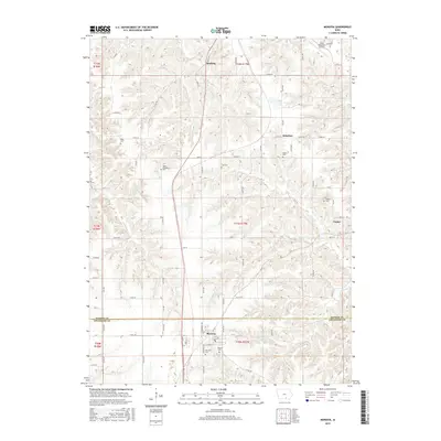
2015 Map of Moravia
USGS Topo · Published 2015About this map
Moravia serves as the primary hub of this landscape where the borders of Monroe and Appanoose counties meet. The area is defined by a dense network of country roads such as 652nd Ave and 234th St, connecting small settlements like Selection and Hocking. Genealogists will find this particular survey exceptionally valuable for its detailed marking of family and community burial grounds, including Hillcrest Cem, Morans Cem, and Mount Pleasant Cem. The terrain is deeply etched by a complex drainage system featuring Soap Creek, Kinser Creek, and Mormon Creek. These watercourses dictate the undulating topography that surrounds the Albia Municipal Airport in the northeast and the community of Foster near the eastern boundary.
Find a feature on this map
83 named features on this map. Tap any name to fly to it.
Don’t see what you’re looking for? This feature index may not catch every label — zoom into the map to look around manually.
Map Details
Editions of this 2015 Moravia Map
This is the sole edition of this map. No revisions or reprints were ever made.
Other maps of this area

1929 · Albia
USGS Topo · 1:62,500

1939 · Mystic
USGS Topo · 1:62,500

1942 · Mystic
USGS Topo · 1:62,500

1954 · Centerville
USGS Topo · 1:250,000

1954 · Des Moines
USGS Topo · 1:250,000

1956 · Des Moines
USGS Topo · 1:250,000

1957 · Des Moines
USGS Topo · 1:250,000

1957 · Centerville
USGS Topo · 1:250,000

1958 · Centerville
USGS Topo · 1:250,000

1966 · Hiattsville
USGS Topo · 1:24,000