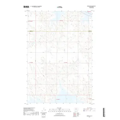
2017 Map of Moreau NW
USGS Topo · Published 2017About this map
The waters of Lake Oahe reach into the southern edge of this landscape at the boundary between Corson and Dewey counties. This 2017 survey reveals a remote prairie environment defined by a dense network of seasonal drainages including Smelser Cr, Thompson Cr, and Deadman Cr, which carve through the high plains toward the Missouri River reservoir system. The local infrastructure is sparse, primarily consisting of section-line roads such as Co Rd 14 and Bender St, which serve the agricultural allotments across the Standing Rock and Cheyenne River reservation lands. This map captures the topography of the central South Dakota grasslands, showing the subtle draws of Chicken Cr and Timber Cr as they shape the terrain north of the reservoir's expansive shoreline.
Find a feature on this map
20 named features on this map. Tap any name to fly to it.
Don’t see what you’re looking for? This feature index may not catch every label — zoom into the map to look around manually.
Map Details
Editions of this 2017 Moreau NW Map
This is the sole edition of this map. No revisions or reprints were ever made.
Other maps of this area

1951 · Promise
USGS Topo · 1:24,000

1953 · McIntosh
USGS Topo · 1:250,000

1956 · Wakpala SE
USGS Topo · 1:24,000

1958 · McIntosh
USGS Topo · 1:250,000

1967 · Glenham
USGS Topo · 1:24,000

1967 · Mobridge
USGS Topo · 1:24,000

1968 · Moreau NW
USGS Topo · 1:24,000

1968 · Moreau NE
USGS Topo · 1:24,000

1968 · Moreau
USGS Topo · 1:24,000

1968 · Moreau SE
USGS Topo · 1:24,000