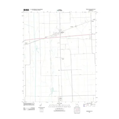
2012 Map of Morehouse
USGS Topo · Published 2012About this map
The low-lying Bootheel region of Missouri is defined here by an intricate drainage network and the small agricultural centers that grew along it. The town of Morehouse serves as the primary hub, situated near the winding course of the Little River. This landscape reflects the significant hydraulic engineering of the twentieth century, where the Upper Castor River and various channels transformed former swamplands into a grid of productive farmland. To the south, the settlement of Canalou sits amidst this reclaimed territory, while smaller points like Delmo and Tram Switch highlight the historic reliance on local rail spurs and crossroads for the transport of timber and crops. The presence of King Lake and Whitten Lake provides evidence of the area's original hydrography persisting within the modern agricultural surveyed sections.
Find a feature on this map
40 named features on this map. Tap any name to fly to it.
Don’t see what you’re looking for? This feature index may not catch every label — zoom into the map to look around manually.
Map Details
Editions of this 2012 Morehouse Map
This is the sole edition of this map. No revisions or reprints were ever made.
Other maps of this area

1931 · Sikeston
USGS Topo · 1:62,500

1934 · Bloomfield
USGS Topo · 1:62,500

1934 · Sikeston
USGS Topo · 1:62,500

1939 · Bloomfield
USGS Topo · 1:62,500

1939 · Sikeston
USGS Topo · 1:62,500

1939 · New Madrid
USGS Topo · 1:62,500

1940 · Malden
USGS Topo · 1:62,500

1949 · Bloomfield
USGS Topo · 1:62,500

1954 · New Madrid
USGS Topo · 1:62,500

1956 · Malden
USGS Topo · 1:62,500