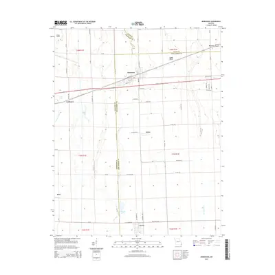
2015 Map of Morehouse
USGS Topo · Published 2015About this map
Morehouse serves as a central hub in this landscape where the drainage systems of the Missouri Bootheel define the terrain. The presence of Little River and the engineered Otter Slough Ditch illustrate the region's historical reliance on sophisticated water management to support its agricultural economy. Smaller communities like Buffington, Delmo, and Canalou are connected by a dense grid of county roads, such as Co Road 824 and Co Road 593, which cross the boundaries of New Madrid, Scott, and Stoddard counties.
Find a feature on this map
61 named features on this map. Tap any name to fly to it.
Don’t see what you’re looking for? This feature index may not catch every label — zoom into the map to look around manually.
Map Details
Editions of this 2015 Morehouse Map
This is the sole edition of this map. No revisions or reprints were ever made.
Other maps of this area

1931 · Sikeston
USGS Topo · 1:62,500

1934 · Bloomfield
USGS Topo · 1:62,500

1934 · Sikeston
USGS Topo · 1:62,500

1939 · Bloomfield
USGS Topo · 1:62,500

1939 · Sikeston
USGS Topo · 1:62,500

1939 · New Madrid
USGS Topo · 1:62,500

1940 · Malden
USGS Topo · 1:62,500

1949 · Bloomfield
USGS Topo · 1:62,500

1954 · New Madrid
USGS Topo · 1:62,500

1956 · Malden
USGS Topo · 1:62,500