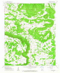
1962 Map of Moreland
USGS Topo · Published 1963About this map
The southern slopes of Carrion Crow Mountain overlook the developed settlement of Atkins, marking a sharp transition from the elevated peaks of Iron Ore Mountain and Griffin Ridge to the lowlands of the Wilson and Gum Log districts. This 1962 survey illustrates a landscape deeply defined by its community infrastructure, with an exceptionally high density of rural churches and cemeteries such as Shady Grove Ch, St Joseph Ch, and Hudson Cem. Smaller rural hubs like Moreland and Economy are connected by a network of winding roads and local drainages including Isabell Creek and Clear Creek. The inclusion of a Quarry and various gravel pits indicates a local economy tied to the land's geological resources during the early 1960s, while family-named landmarks like Mars Hill and Sugg Cem provide invaluable touchpoints for genealogists.
Find a feature on this map
37 named features on this map. Tap any name to fly to it.
Don’t see what you’re looking for? This feature index may not catch every label — zoom into the map to look around manually.
Map Details
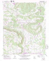
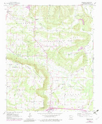
Editions of this 1962 Moreland Map
3 editions found
Other maps of this area

1888 · Dardanelle #4
USGS Topo · 1:62,500

1888 · Dardanelle #1
USGS Topo · 1:62,500

1889 · Morrilton No. 3
USGS Topo · 1:62,500

1890 · Dardanelle
USGS Topo · 1:125,000

1892 · Morrillton
USGS Topo · 1:125,000

1894 · Morrillton
USGS Topo · 1:125,000

1956 · Russellville
USGS Topo · 1:250,000

1961 · Morrilton West
USGS Topo · 1:24,000

1961 · Atkins
USGS Topo · 1:24,000
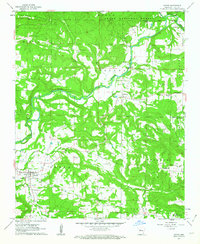
1961 · Dover
USGS Topo · 1:24,000