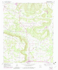
1962 Map of Moreland
USGS Topo · Published 1983About this map
The ridge and valley landscape of Pope County is clearly defined here by the prominent Carrion Crow Mountain and Iron Ore Mountain, which separate the lower reaches near Atkins from the higher elevations of the Moreland and Convenience districts. This 1962 survey, with revisions through the late 1970s, captures a transition from traditional rural homesteading to modern infrastructure, evidenced by the large Pipeline cutting across the central hills and scattered Gas Well activity.
Find a feature on this map
39 named features on this map. Tap any name to fly to it.
Don’t see what you’re looking for? This feature index may not catch every label — zoom into the map to look around manually.
Map Details
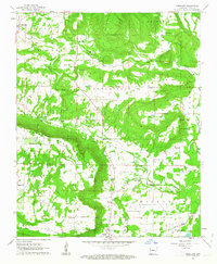
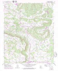
Editions of this 1962 Moreland Map
3 editions found
Other maps of this area

1888 · Dardanelle #4
USGS Topo · 1:62,500

1888 · Dardanelle #1
USGS Topo · 1:62,500

1889 · Morrilton No. 3
USGS Topo · 1:62,500

1890 · Dardanelle
USGS Topo · 1:125,000

1892 · Morrillton
USGS Topo · 1:125,000

1894 · Morrillton
USGS Topo · 1:125,000

1956 · Russellville
USGS Topo · 1:250,000

1961 · Morrilton West
USGS Topo · 1:24,000

1961 · Atkins
USGS Topo · 1:24,000
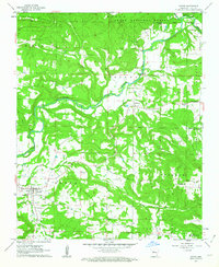
1961 · Dover
USGS Topo · 1:24,000