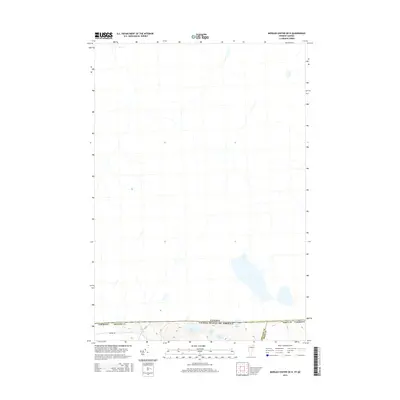
2015 Map of Morgan Center OE N
USGS Topo · Published 2015About this map
The international boundary between the United States and Canada defines the southern portion of this landscape, where the northern reaches of Vermont meet the border with Quebec. This sparsely settled region is characterized by a network of glacial ponds and small waterways. Holland Brook flows through the western terrain, while a cluster of small water bodies including Beaver Pond, Duck Pond, and Round Pond sit just south of the border line. The topography is largely undeveloped, with Prairie Rd providing one of the few named access points into the wooded hills of Orleans County. Positioned at the very edge of the Orleans and Essex County line, this map captures the transition from the high northern woods into the international frontier at Line Pond.
Find a feature on this map
10 named features on this map. Tap any name to fly to it.
Don’t see what you’re looking for? This feature index may not catch every label — zoom into the map to look around manually.
Map Details
Editions of this 2015 Morgan Center OE N Map
This is the sole edition of this map. No revisions or reprints were ever made.
Other maps of this area

1919 · Lake Memphremagog
USGS Topo · 1:62,500

1920 · Derby
USGS Topo · 1:62,500

1923 · Lake Memphremagog
USGS Topo · 1:48,000

1924 · Island Pond
USGS Topo · 1:48,000

1925 · Memphremagog
USGS Topo · 1:62,500

1926 · Island Pond
USGS Topo · 1:62,500

1949 · Jackman
USGS Topo · 1:250,000

1950 · Lake Champlain
USGS Topo · 1:250,000

1950 · Lewiston
USGS Topo · 1:250,000

1953 · Island Pond
USGS Topo · 1:62,500