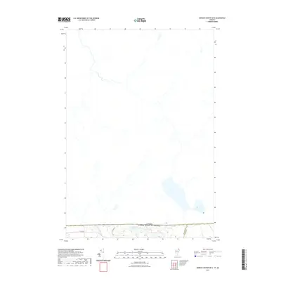
2021 Map of Morgan Center OE N
USGS Topo · Published 2021About this map
Canada and United States of America international border defines the character of this northern landscape, where the survey captures the immediate proximity of Quebec to the Vermont boundary. The southern edge of the map reveals a cluster of small water bodies including Beaver Pond, Duck Pond, and Round Pond, situated just below the 45th parallel. Local transportation is represented by a handful of rural routes such as Prairie Rd and Line Farm Rd, which navigate the terrain between the wetland pockets and the drainage of Holland Brook. This 2021 topographic record highlights the meeting of Orleans and Essex counties right at the international line, illustrating the sparse settlement and hydrology of this borderland area where Line Pond straddles the limits of the survey.
Find a feature on this map
9 named features on this map. Tap any name to fly to it.
Don’t see what you’re looking for? This feature index may not catch every label — zoom into the map to look around manually.
Map Details
Editions of this 2021 Morgan Center OE N Map
This is the sole edition of this map. No revisions or reprints were ever made.
Other maps of this area

1919 · Lake Memphremagog
USGS Topo · 1:62,500

1920 · Derby
USGS Topo · 1:62,500

1923 · Lake Memphremagog
USGS Topo · 1:48,000

1924 · Island Pond
USGS Topo · 1:48,000

1925 · Memphremagog
USGS Topo · 1:62,500

1926 · Island Pond
USGS Topo · 1:62,500

1949 · Jackman
USGS Topo · 1:250,000

1950 · Lake Champlain
USGS Topo · 1:250,000

1950 · Lewiston
USGS Topo · 1:250,000

1953 · Island Pond
USGS Topo · 1:62,500