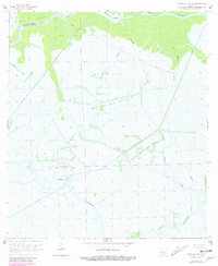
1966 Map of Morgan City SE
USGS Topo · Published 1981About this map
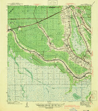
Penchant Bayou and a complex network of waterways define this region of the St Mary and Terrebonne Parish line during the late 1960s. The landscape is dominated by the extraction economy and coastal transport, featuring extensive infrastructure such as the North Turtle Bayou Gas Field and the Turtle Bayou Gas Field. Evidence of industrial development is visible in the numerous pipelines and canals that cut through the marshland, including the prominent Burke Canal.
Find a feature on this map
21 named features on this map. Tap any name to fly to it.
Don’t see what you’re looking for? This feature index may not catch every label — zoom into the map to look around manually.
Map Details
Editions of this 1966 Morgan City SE Map
4 editions found
Other maps of this area

1892 · Gibson
USGS Topo · 1:62,500

1894 · Bayou De Large
USGS Topo · 1:62,500

1897 · Gibson
USGS Topo · 1:62,500

1932 · Lake Decade
USGS Topo · 1:62,500

1935 · Morgan City
USGS Topo · 1:62,500

1935 · Lake Penchant
USGS Topo · 1:31,680

1939 · Gibson
USGS Topo · 1:62,500

1940 · Bayou Du Large
USGS Topo · 1:62,500

1941 · Bayou Du Large
USGS Topo · 1:62,500
1941 · Gibson
USGS Topo · 1:62,500