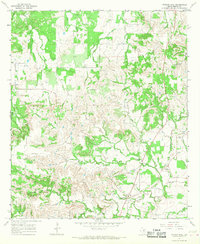
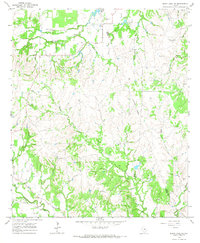
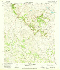
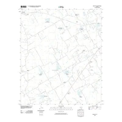
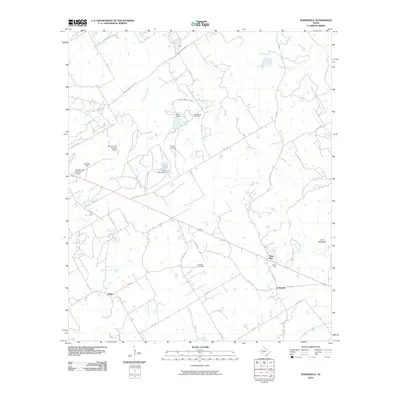
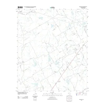
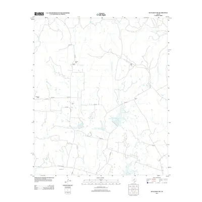
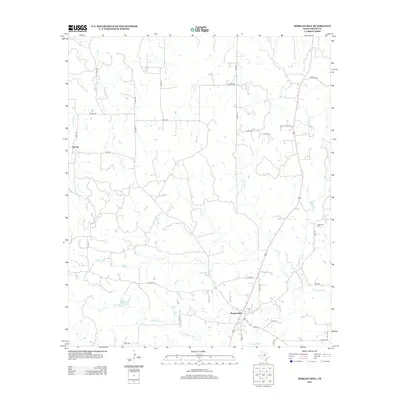
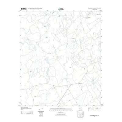
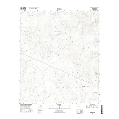
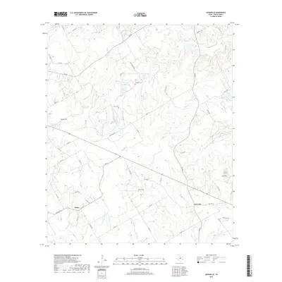
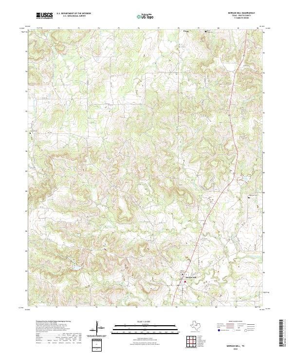
1965 Map of Morgan Mill
USGS Topo · Published 1968About this map
The North Paluxy River and its numerous tributaries dominate this mid-century survey of the Erath County landscape. Small rural nodes like Morgan Mill and the settlement at Sapoak serve as the primary landmarks in an area defined by its complex drainage network, where the waters of Counts Creek, Germany Creek, and Bee Dee Creek have carved a highly dissected topography. This era of land use is marked by scattered infrastructure, including an Oil Well and several Gravel Pit locations, suggesting a local economy tied to the extraction of natural resources.
Find a feature on this map
19 named features on this map. Tap any name to fly to it.
Don’t see what you’re looking for? This feature index may not catch every label — zoom into the map to look around manually.
Map Details
Editions of this 1965 Morgan Mill Map
This is the sole edition of this map. No revisions or reprints were ever made.
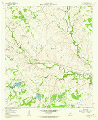
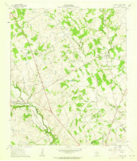
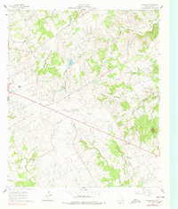
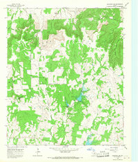
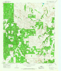
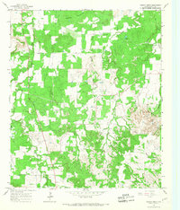
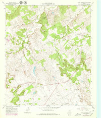
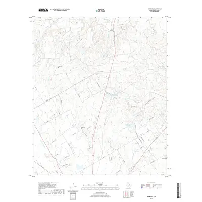
Historical Maps of Morgan Mill Through Time
72 maps found
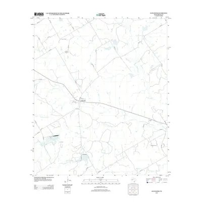
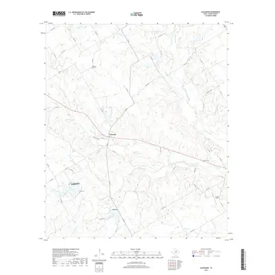
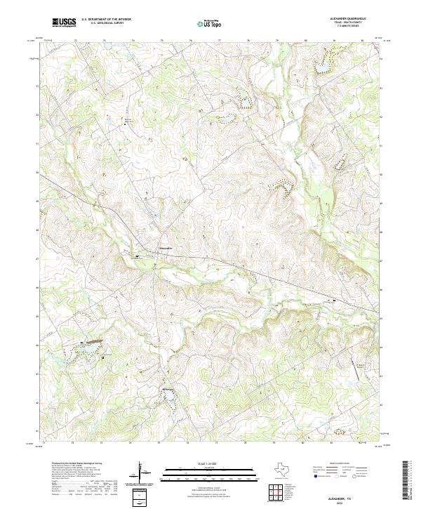
1961 Alexander
Erath County, TX
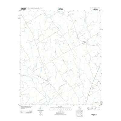
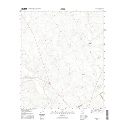
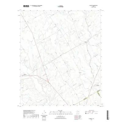
1961 Clairette
Erath County, TX
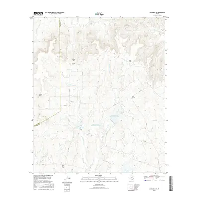
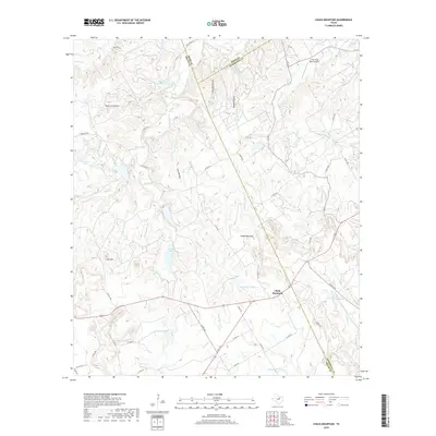
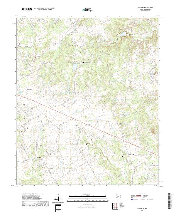
1961 Johnsville
Erath County, TX

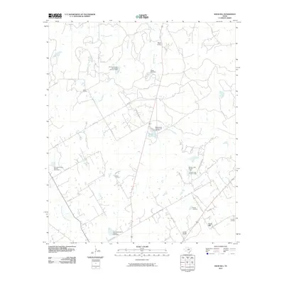
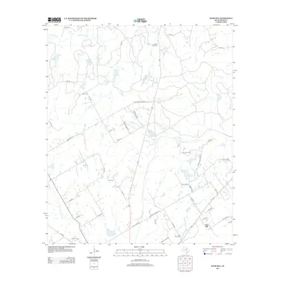
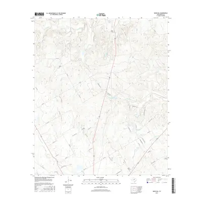
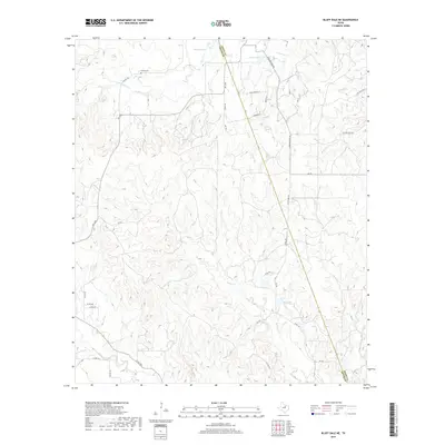
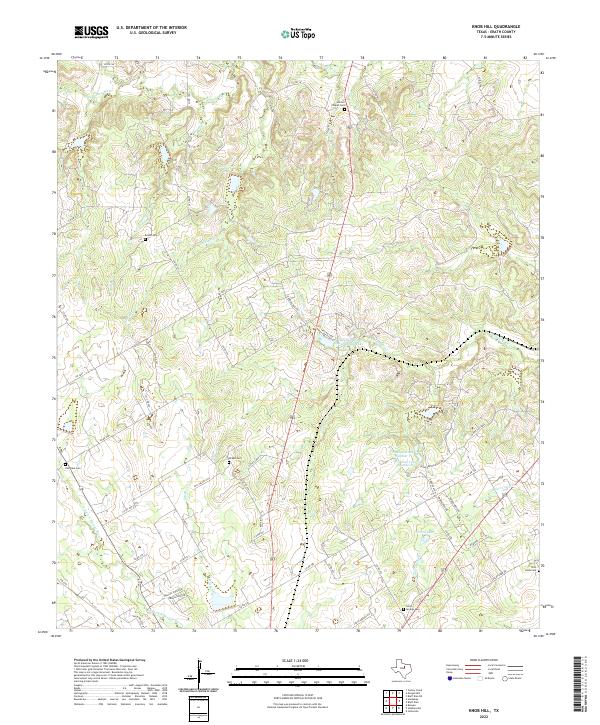
1961 Knob Hill
Erath County, TX
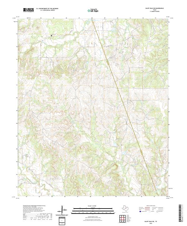
1965 Bluff Dale NE
Erath County, TX

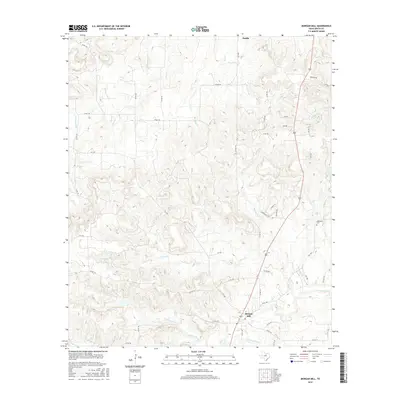
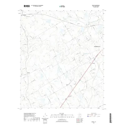
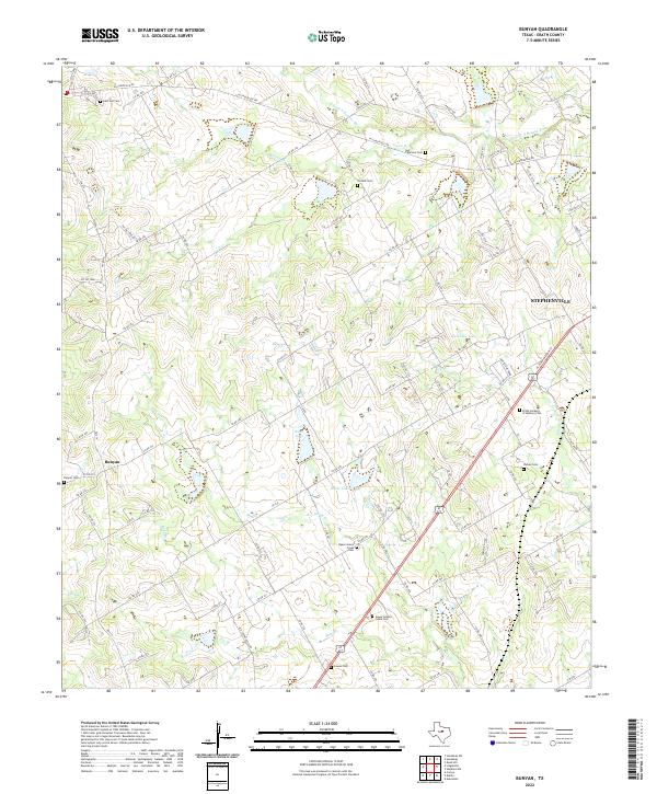
1965 Bunyan
Erath County, TX
1965 Huckabay SW
Erath County, TX
1965 Morgan Mill
Erath County, TX
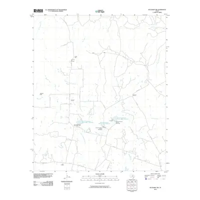
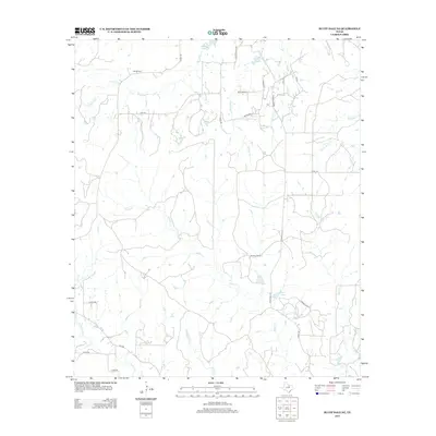
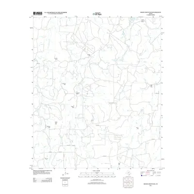
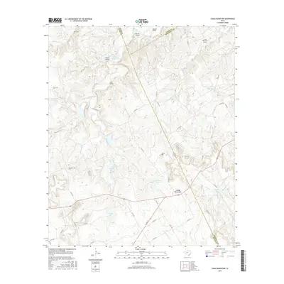
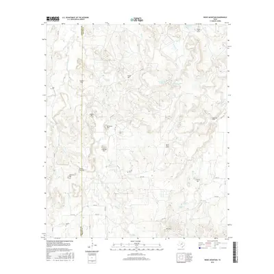
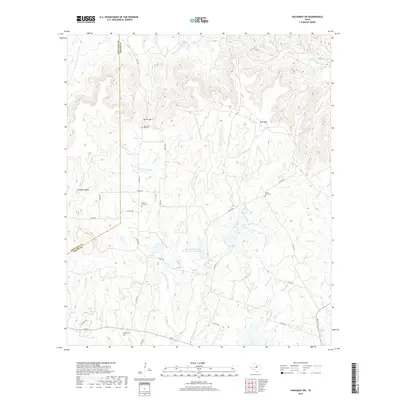
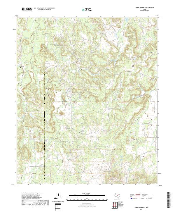
1965 Reddy Mountain
Erath County, TX
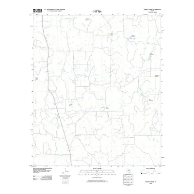
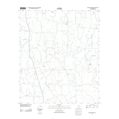
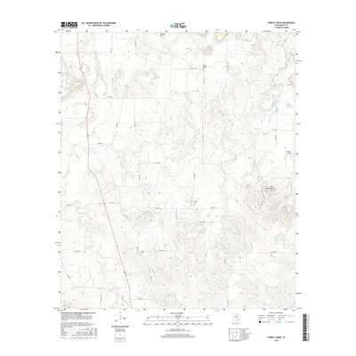
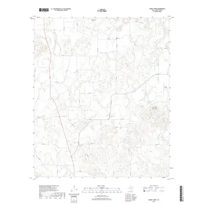
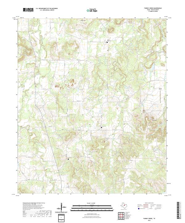
1965 Turkey Creek
Erath County, TX
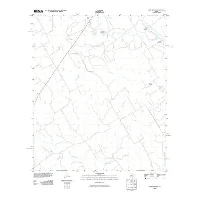
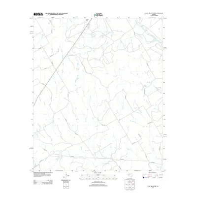
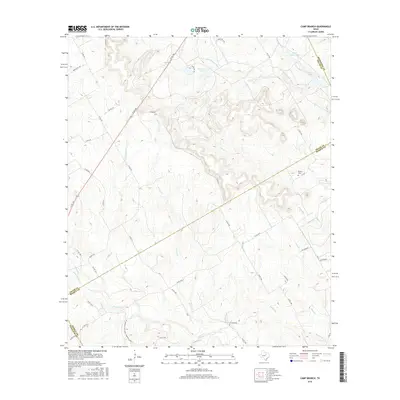
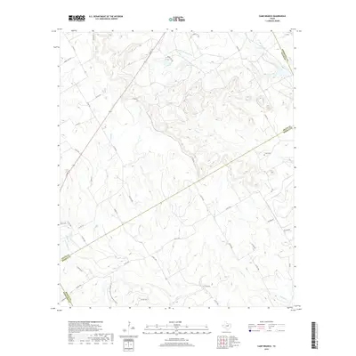
1966 Camp Branch
Erath County, TX
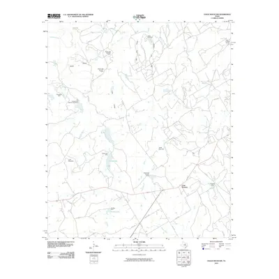
1966 Chalk Mountain
Erath County, TX
2010 Alexander
Erath County, TX
2010 Bluff Dale NE
Erath County, TX
2010 Bunyan
Erath County, TX
2010 Camp Branch
Erath County, TX
2010 Chalk Mountain
Erath County, TX

2010 Clairette
Erath County, TX
2010 Huckabay SW
Erath County, TX
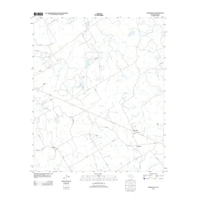
2010 Johnsville
Erath County, TX
2010 Knob Hill
Erath County, TX
2010 Morgan Mill
Erath County, TX
2010 Reddy Mountain
Erath County, TX
2010 Turkey Creek
Erath County, TX
2012 Alexander
Erath County, TX
2012 Bluff Dale NE
Erath County, TX
2012 Bunyan
Erath County, TX
2012 Clairette
Erath County, TX
2012 Huckabay SW
Erath County, TX
2012 Johnsville
Erath County, TX
2012 Knob Hill
Erath County, TX
2012 Morgan Mill
Erath County, TX
2012 Reddy Mountain
Erath County, TX
2012 Turkey Creek
Erath County, TX
2013 Camp Branch
Erath County, TX
2013 Chalk Mountain
Erath County, TX
2016 Alexander
Erath County, TX
2016 Bluff Dale NE
Erath County, TX
2016 Bunyan
Erath County, TX
2016 Camp Branch
Erath County, TX
2016 Chalk Mountain
Erath County, TX
2016 Clairette
Erath County, TX
2016 Huckabay SW
Erath County, TX
2016 Johnsville
Erath County, TX
2016 Knob Hill
Erath County, TX
2016 Morgan Mill
Erath County, TX
2016 Reddy Mountain
Erath County, TX
2016 Turkey Creek
Erath County, TX
2019 Alexander
Erath County, TX
2019 Bluff Dale NE
Erath County, TX
2019 Bunyan
Erath County, TX
2019 Camp Branch
Erath County, TX
2019 Chalk Mountain
Erath County, TX
2019 Clairette
Erath County, TX
2019 Huckabay SW
Erath County, TX
2019 Johnsville
Erath County, TX
2019 Knob Hill
Erath County, TX
2019 Morgan Mill
Erath County, TX
2019 Reddy Mountain
Erath County, TX
2019 Turkey Creek
Erath County, TX
2022 Alexander
Erath County, TX
2022 Bluff Dale NE
Erath County, TX
2022 Bunyan
Erath County, TX
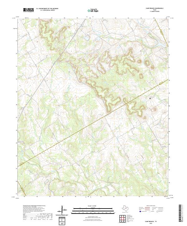
2022 Camp Branch
Erath County, TX
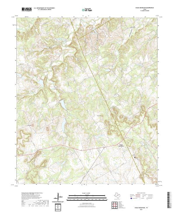
2022 Chalk Mountain
Erath County, TX
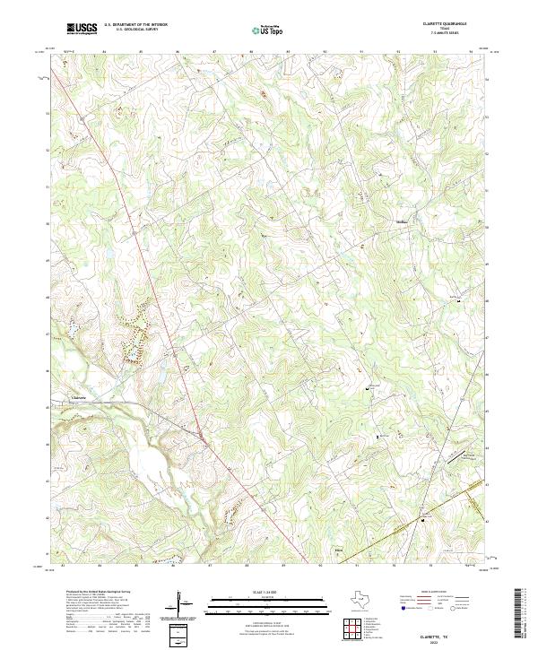
2022 Clairette
Erath County, TX
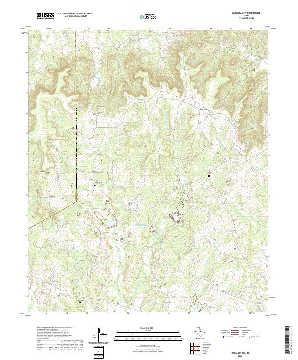
2022 Huckabay SW
Erath County, TX
2022 Johnsville
Erath County, TX
2022 Knob Hill
Erath County, TX
2022 Morgan Mill
Erath County, TX
2022 Reddy Mountain
Erath County, TX
2022 Turkey Creek
Erath County, TX