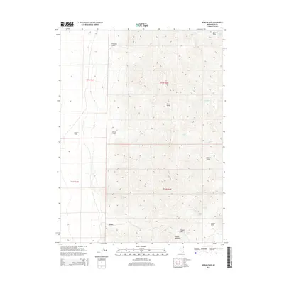
2014 Map of Morgan Pass
USGS Topo · Published 2014About this map
The Toano Range and Goshute Mountains dominate this high-desert landscape in northeastern Nevada, where vertical relief creates a network of drainages and seasonal water sources. The terrain is defined by prominent features such as Morgan Pass and the broad Goshute Valley to the west. For those tracing the movement of people and livestock through this arid region, the map identifies critical water points like Rock Spring, Morgan Spring, and Summit Spring.
Find a feature on this map
22 named features on this map. Tap any name to fly to it.
Don’t see what you’re looking for? This feature index may not catch every label — zoom into the map to look around manually.
Map Details
Editions of this 2014 Morgan Pass Map
This is the sole edition of this map. No revisions or reprints were ever made.
Other maps of this area

1955 · Elko
USGS Topo · 1:250,000

1958 · Elko
USGS Topo · 1:250,000

1962 · Elko
USGS Topo · 1:250,000

1965 · Elko
USGS Topo · 1:250,000

1971 · West Morris Basin
USGS Topo · 1:24,000

1971 · Shafter
USGS Topo · 1:24,000

1971 · Pilot
USGS Topo · 1:24,000

1971 · Decoy
USGS Topo · 1:24,000

1972 · Morgan Pass
USGS Topo · 1:24,000

1972 · Lion Spring
USGS Topo · 1:24,000