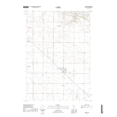
2019 Map of Morgan
USGS Topo · Published 2019About this map
Morgan serves as the central hub for this portion of Redwood County, showcasing a grid of streets including Front St, Fergus Ave, and Carleton Ave. The landscape is a testament to the region's managed agricultural history, defined by extensive drainage systems such as County Ditch Number One Hundred Nine and Judicial Ditch Number Twentynine. Natural watercourses like Wabasha Cr and Spring Cr still meander through the prairie terrain, though the dominance of the section-line road network highlights the systematic division of the land.
Find a feature on this map
40 named features on this map. Tap any name to fly to it.
Don’t see what you’re looking for? This feature index may not catch every label — zoom into the map to look around manually.
Map Details
Editions of this 2019 Morgan Map
This is the sole edition of this map. No revisions or reprints were ever made.
Other maps of this area

1952 · Morton
USGS Topo · 1:62,500

1952 · Redwood Falls
USGS Topo · 1:62,500

1953 · Morgan
USGS Topo · 1:62,500

1953 · New Ulm
USGS Topo · 1:250,000

1957 · New Ulm
USGS Topo · 1:250,000

1958 · New Ulm
USGS Topo · 1:250,000

1967 · New Ulm
USGS Topo · 1:250,000

1967 · Clements
USGS Topo · 1:24,000

1967 · Clements SE
USGS Topo · 1:24,000
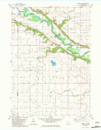
1982 · Morgan NE
USGS Topo · 1:24,000