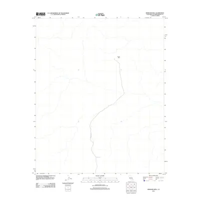
2012 Map of Morgans Well
USGS Topo · Published 2012About this map
Morgans Well marks a critical water point in this high desert landscape of San Bernardino County. The terrain is characterized by broad alluvial fans and the prominent flat-topped Pacific Mesa, which stands as a landmark above the surrounding drainage networks. This 2012 survey illustrates the modern logistical footprint of the region, featuring the road designated as 29 Palms MCAG. The sparse distribution of named features emphasizes the arid and secluded nature of this specific portion of the California desert, where reliable water sources and topographical landmarks historically dictated travel and land use.
Find a feature on this map
3 named features on this map. Tap any name to fly to it.
Don’t see what you’re looking for? This feature index may not catch every label — zoom into the map to look around manually.
Map Details
Editions of this 2012 Morgans Well Map
This is the sole edition of this map. No revisions or reprints were ever made.
Other maps of this area

1953 · San Bernardino
USGS Topo · 1:250,000

1954 · Hidalgo Mtn
USGS Topo · 1:24,000

1954 · Ludlow SE
USGS Topo · 1:24,000

1955 · Deadman Lake NW
USGS Topo · 1:24,000

1955 · Ludlow
USGS Topo · 1:24,000

1955 · Lavic SE
USGS Topo · 1:24,000

1955 · Morgans Well
USGS Topo · 1:24,000

1955 · Deadman Lake NE
USGS Topo · 1:24,000

1955 · Ash Hill
USGS Topo · 1:24,000

1955 · Lavic Lake
USGS Topo · 1:24,000