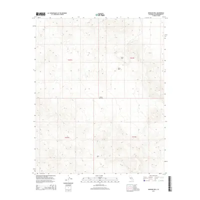
2015 Map of Morgans Well
USGS Topo · Published 2015About this map
Morgans Well is a primary water source and historical landmark in this arid stretch of the Mojave Desert. The map details a high-elevation landscape characterized by the Bullion Mountains, which dominate the southern half of the quadrangle. In the northern section, the prominent Pacific Mesa stands out against the surrounding terrain. This survey reflects the modern management of these public lands, dividing the territory into townships such as t6n r7e and t5n r8e. The absence of established roads or settlements highlights the isolated nature of this desert interior, where survival and travel historically hinged on rare water points like the namesake well.
Find a feature on this map
8 named features on this map. Tap any name to fly to it.
Don’t see what you’re looking for? This feature index may not catch every label — zoom into the map to look around manually.
Map Details
Editions of this 2015 Morgans Well Map
This is the sole edition of this map. No revisions or reprints were ever made.
Other maps of this area

1953 · San Bernardino
USGS Topo · 1:250,000

1954 · Hidalgo Mtn
USGS Topo · 1:24,000

1954 · Ludlow SE
USGS Topo · 1:24,000

1955 · Deadman Lake NW
USGS Topo · 1:24,000

1955 · Ludlow
USGS Topo · 1:24,000

1955 · Lavic SE
USGS Topo · 1:24,000

1955 · Morgans Well
USGS Topo · 1:24,000

1955 · Deadman Lake NE
USGS Topo · 1:24,000

1955 · Ash Hill
USGS Topo · 1:24,000

1955 · Lavic Lake
USGS Topo · 1:24,000