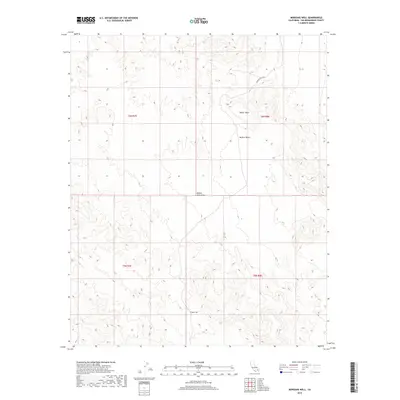
2018 Map of Morgans Well
USGS Topo · Published 2018About this map
Morgans Well serves as a remote landmark in this high-elevation corner of the Mojave Desert within San Bernardino County. Located just south of the Bullion Mountains, the area is defined by its topographic extremes, ranging from the flat expanses of Pacific Mesa to the intricate ridgelines of the surrounding mountain ranges. The landscape is primarily accessed by Bagdad Chase Rd in the northeastern corner, which suggests a legacy of industrial or mining transit through this arid terrain. This 2018 survey provides a clear view of the Public Land Survey System grid, including townships t6n r7e, t6n r8e, t5n r7e, and t5n r8e, reflecting how this vast open space is formally organized and managed.
Find a feature on this map
9 named features on this map. Tap any name to fly to it.
Don’t see what you’re looking for? This feature index may not catch every label — zoom into the map to look around manually.
Map Details
Editions of this 2018 Morgans Well Map
This is the sole edition of this map. No revisions or reprints were ever made.
Other maps of this area

1953 · San Bernardino
USGS Topo · 1:250,000

1954 · Hidalgo Mtn
USGS Topo · 1:24,000

1954 · Ludlow SE
USGS Topo · 1:24,000

1955 · Deadman Lake NW
USGS Topo · 1:24,000

1955 · Ludlow
USGS Topo · 1:24,000

1955 · Lavic SE
USGS Topo · 1:24,000

1955 · Morgans Well
USGS Topo · 1:24,000

1955 · Deadman Lake NE
USGS Topo · 1:24,000

1955 · Ash Hill
USGS Topo · 1:24,000

1955 · Lavic Lake
USGS Topo · 1:24,000