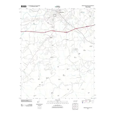
2010 Map of Morganton South
USGS Topo · Published 2010About this map
Morganton serves as the northern anchor for this study of central Burke County, where the southern edge of the city gives way to a landscape defined by sharp topographical peaks and established rural communities. The map highlights a series of distinctive knobs and ridges, including Burkemont Mountain, Ironmonger Mountain, and the prominent Walker Top. These heights separate the drainages of Silver Creek and Hunting Creek, which flow toward the Catawba River at the map's northern border. The settlement pattern follows the lower-elevation corridors, with places like Salem, Magnolia, and Pumpkin Center situated along the primary transit routes. In the southeast, the terrain becomes increasingly complex around Enola, marked by numerous family-named landmarks such as Jimmy Knob and Bob Knob. Transportation infrastructure is anchored by the Silver Creek Airport and a developed road network that includes Dixie Blvd and the Asheville St corridor.
Find a feature on this map
94 named features on this map. Tap any name to fly to it.
Don’t see what you’re looking for? This feature index may not catch every label — zoom into the map to look around manually.
Map Details
Editions of this 2010 Morganton South Map
This is the sole edition of this map. No revisions or reprints were ever made.
Other maps of this area

1905 · Morganton
USGS Topo · 1:125,000

1953 · Charlotte
USGS Topo · 1:250,000

1954 · Charlotte
USGS Topo · 1:250,000

1956 · Valdese
USGS Topo · 1:24,000

1956 · Oak Hill
USGS Topo · 1:24,000

1956 · Benn Knob
USGS Topo · 1:24,000

1956 · Morganton North
USGS Topo · 1:24,000

1956 · Casar
USGS Topo · 1:24,000

1956 · Morganton South
USGS Topo · 1:24,000

1956 · Drexel
USGS Topo · 1:24,000