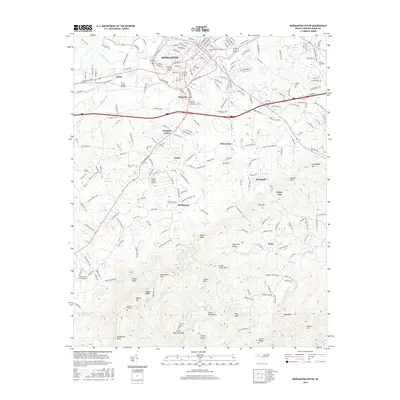
2016 Map of Morganton South
USGS Topo · Published 2016About this map
The Catawba River and its northern tributaries, Silver Creek and Hunting Cr, anchor the northern edge of this region near Morganton. The landscape transitions from the urban core and residential outskirts of Magnolia, Salem, and Sunnyside into the high elevations of the South Mountains. In the south, the terrain rises sharply toward peaks like Walker Top, Burkemont Mtn, and Krunkleton Knob.
Find a feature on this map
150 named features on this map. Tap any name to fly to it.
Don’t see what you’re looking for? This feature index may not catch every label — zoom into the map to look around manually.
Map Details
Editions of this 2016 Morganton South Map
This is the sole edition of this map. No revisions or reprints were ever made.
Other maps of this area

1905 · Morganton
USGS Topo · 1:125,000

1953 · Charlotte
USGS Topo · 1:250,000

1954 · Charlotte
USGS Topo · 1:250,000

1956 · Valdese
USGS Topo · 1:24,000

1956 · Oak Hill
USGS Topo · 1:24,000

1956 · Benn Knob
USGS Topo · 1:24,000

1956 · Morganton North
USGS Topo · 1:24,000

1956 · Casar
USGS Topo · 1:24,000

1956 · Morganton South
USGS Topo · 1:24,000

1956 · Drexel
USGS Topo · 1:24,000