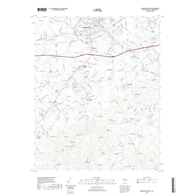
2019 Map of Morganton South
USGS Topo · Published 2019About this map
The Catawba River and Canoe Cr define the northern edge of this landscape, where the city of Morganton transitions from an urban center into the rising peaks of the South Mountains. The terrain becomes increasingly complex as one moves south toward Walker Top and Krunkleton Knob, with numerous gaps and ridges like Horse Mountain Gap and Black Fox Ridge shaping the local geography.
Find a feature on this map
68 named features on this map. Tap any name to fly to it.
Don’t see what you’re looking for? This feature index may not catch every label — zoom into the map to look around manually.
Map Details
Editions of this 2019 Morganton South Map
This is the sole edition of this map. No revisions or reprints were ever made.
Other maps of this area

1905 · Morganton
USGS Topo · 1:125,000

1953 · Charlotte
USGS Topo · 1:250,000

1954 · Charlotte
USGS Topo · 1:250,000

1956 · Valdese
USGS Topo · 1:24,000

1956 · Oak Hill
USGS Topo · 1:24,000

1956 · Benn Knob
USGS Topo · 1:24,000

1956 · Morganton North
USGS Topo · 1:24,000

1956 · Casar
USGS Topo · 1:24,000

1956 · Morganton South
USGS Topo · 1:24,000

1956 · Drexel
USGS Topo · 1:24,000