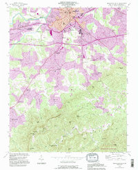
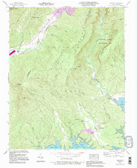
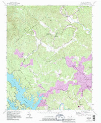
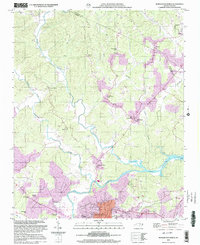
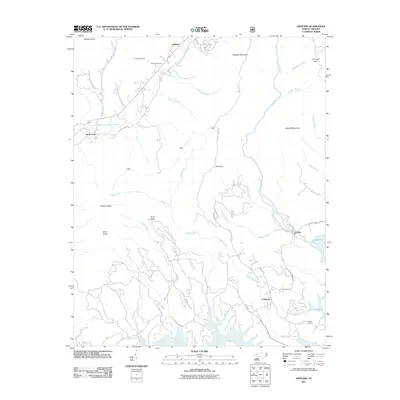
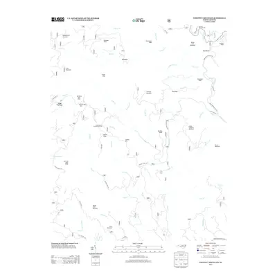
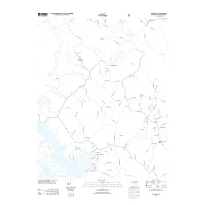
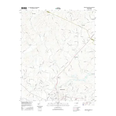
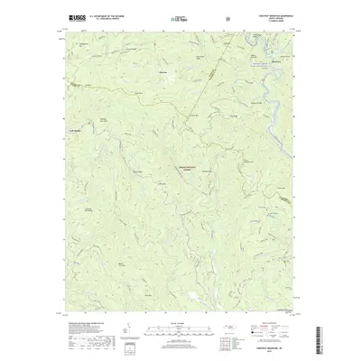
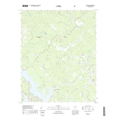
1993 Map of Morganton South
USGS Topo · Published 1996About this map
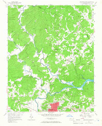
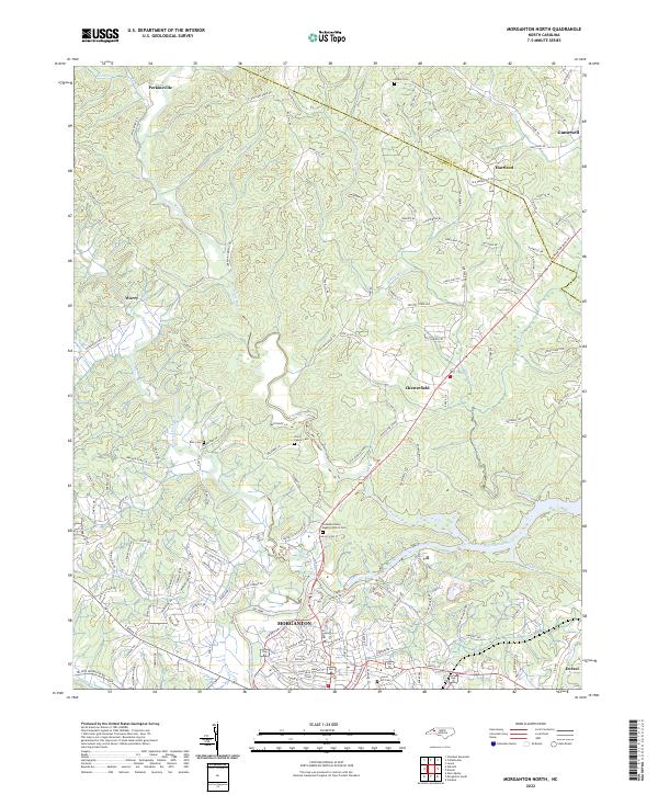
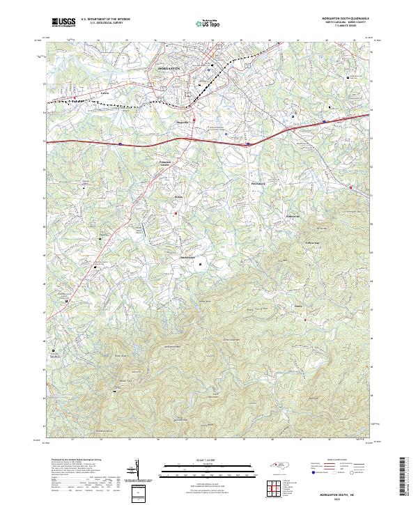
The Catawba River marks the northern boundary of this landscape, where the urban character of Morganton gives way to the rising elevations of the South Mountains. This 1993 revision highlights the institutional footprint of the region, specifically the sprawling grounds of the State Hospital and the State Sch for the Deaf south of the city center. The transition from Piedmont foothills to the mountain range is punctuated by a network of rural communities and crossroads, including Petersburg, Salem, and Pumpkin Center.
Find a feature on this map
62 named features on this map. Tap any name to fly to it.
Don’t see what you’re looking for? This feature index may not catch every label — zoom into the map to look around manually.
Map Details
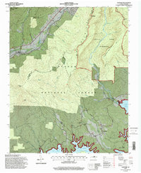
Editions of this 1993 Morganton South Map
This is the sole edition of this map. No revisions or reprints were ever made.
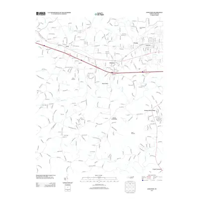
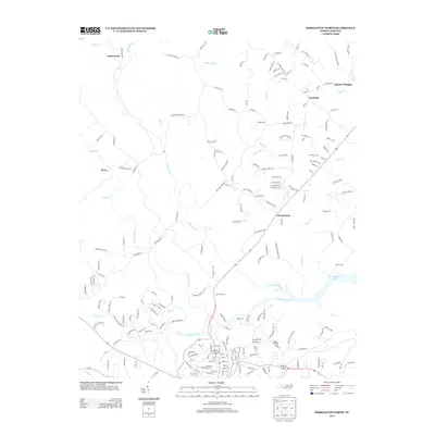
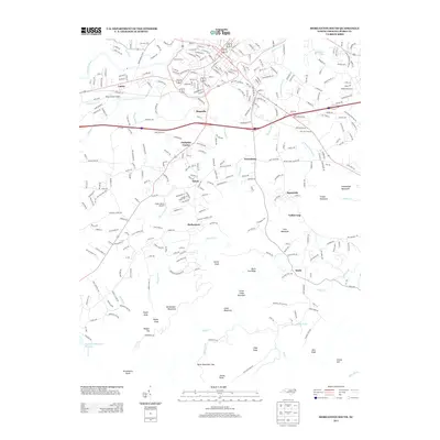
Historical Maps of Morganton Through Time
47 maps found
1956 Ashford
Burke County, NC
1956 Chestnut Mountain
Burke County, NC
1956 Linville Falls
Burke County, NC
1956 Morganton North
Burke County, NC
1956 Morganton South
Burke County, NC
1956 Oak Hill
Burke County, NC
1970 Longview
Burke County, NC
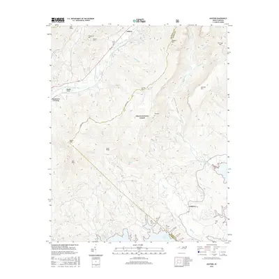
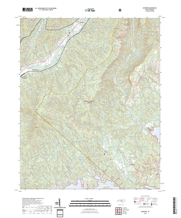
1993 Ashford
Burke County, NC
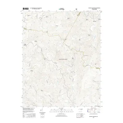
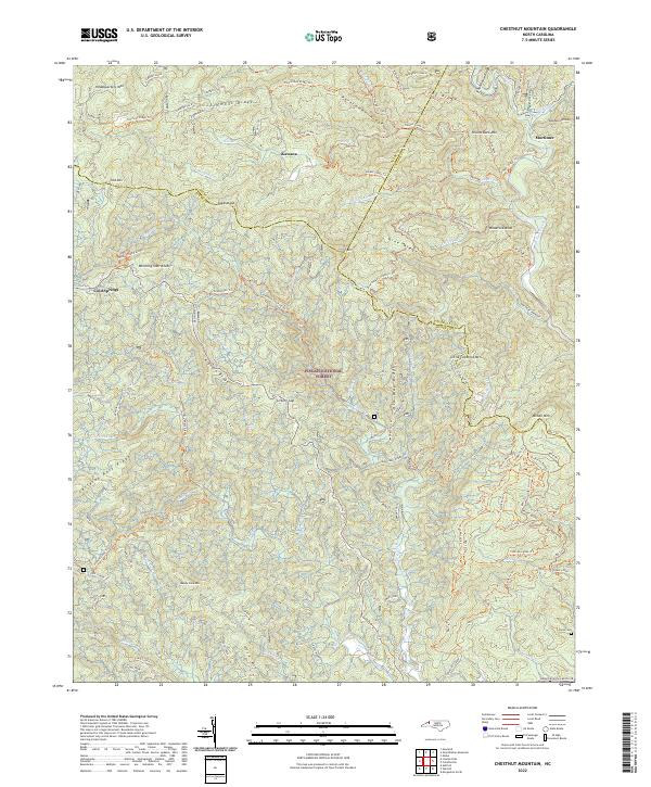
1993 Chestnut Mountain
Burke County, NC
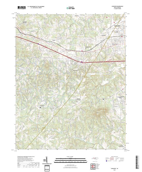
1993 Longview
Burke County, NC
1993 Morganton North
Burke County, NC
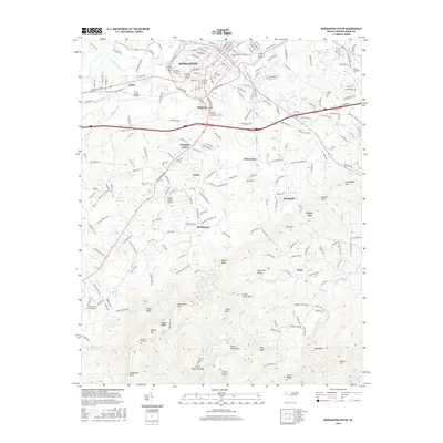
1993 Morganton South
Burke County, NC
1993 Oak Hill
Burke County, NC
1994 Ashford
Burke County, NC
1994 Chestnut Mountain
Burke County, NC
1994 Oak Hill
Burke County, NC
2002 Morganton North
Burke County, NC
2010 Longview
Burke County, NC
2010 Morganton North
Burke County, NC
2010 Morganton South
Burke County, NC
2011 Ashford
Burke County, NC
2011 Chestnut Mountain
Burke County, NC
2011 Oak Hill
Burke County, NC
2013 Ashford
Burke County, NC
2013 Chestnut Mountain
Burke County, NC
2013 Longview
Burke County, NC
2013 Morganton North
Burke County, NC
2013 Morganton South
Burke County, NC
2013 Oak Hill
Burke County, NC
2016 Ashford
Burke County, NC
2016 Chestnut Mountain
Burke County, NC
2016 Longview
Burke County, NC
2016 Morganton North
Burke County, NC
2016 Morganton South
Burke County, NC
2016 Oak Hill
Burke County, NC
2019 Ashford
Burke County, NC
2019 Chestnut Mountain
Burke County, NC
2019 Longview
Burke County, NC
2019 Morganton North
Burke County, NC
2019 Morganton South
Burke County, NC
2019 Oak Hill
Burke County, NC
2022 Ashford
Burke County, NC
2022 Chestnut Mountain
Burke County, NC
2022 Longview
Burke County, NC
2022 Morganton North
Burke County, NC
2022 Morganton South
Burke County, NC
2022 Oak Hill
Burke County, NC