2024 Map of Morganza
USGS Topo · Published 2024About this map
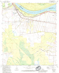
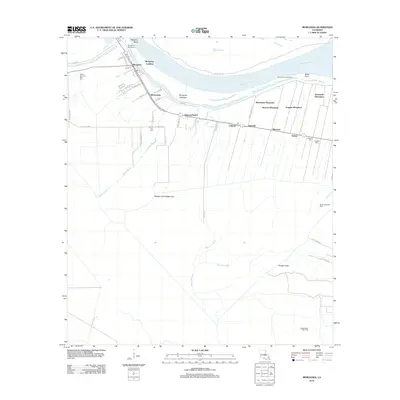
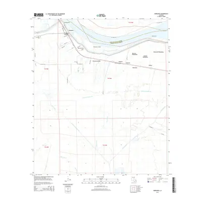
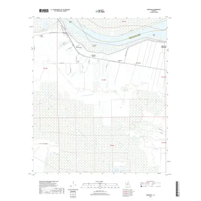
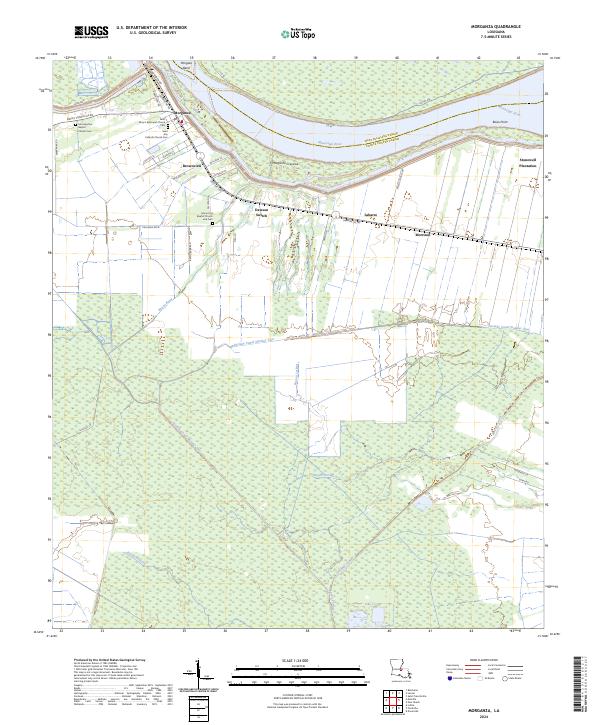
Morganza stands at a critical bend in the Mississippi River, where the landscape is defined by the complex hydrology of the Louisiana delta. The settlement pattern follows the high ground of the natural levees, with communities like Brownview, Labarre, and Morrison clustered along the river corridor. Significant local history is preserved in the numerous religious sites and burial grounds, such as the Saint Ann Catholic Church Cem and the Mount Era Baptist Church and Cem, which serve as ancestral anchors for families in this corner of Pointe Coupee Parish.
Find a feature on this map
52 named features on this map. Tap any name to fly to it.
Don’t see what you’re looking for? This feature index may not catch every label — zoom into the map to look around manually.
Map Details
Editions of this 2024 Morganza Map
This is the sole edition of this map. No revisions or reprints were ever made.
Historical Maps of Morganza Through Time
6 maps found