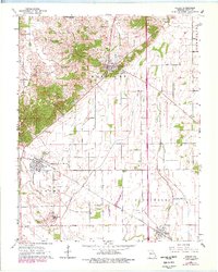
1963 Map of Morley
USGS Topo · Published 1978About this map
Benton serves as a prominent focal point in this portion of Scott County, positioned at the edge of the upland terrain before the landscape drops into the engineered drainage of the lowlands. The transition from the elevations near New Hamburg to the flat, ditch-scored plains of Morley and Blodgett reveals a highly managed agricultural environment. This 1960s landscape is defined by its water management, with St Johns Ditch and Blue Ditch cutting across the survey to channel runoff away from the fertile valley floor.
Find a feature on this map
21 named features on this map. Tap any name to fly to it.
Don’t see what you’re looking for? This feature index may not catch every label — zoom into the map to look around manually.
Map Details
Editions of this 1963 Morley Map
2 editions found
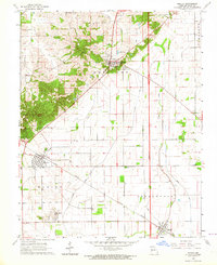
Other maps of this area

1931 · Sikeston
USGS Topo · 1:62,500

1934 · Thebes
USGS Topo · 1:62,500

1934 · Morley
USGS Topo · 1:62,500

1934 · Sikeston
USGS Topo · 1:62,500

1939 · Sikeston
USGS Topo · 1:62,500

1939 · Charleston
USGS Topo · 1:62,500

1939 · Morley
USGS Topo · 1:62,500

1939 · Thebes
USGS Topo · 1:62,500

1949 · Paducah
USGS Topo · 1:250,000

1950 · Paducah
USGS Topo · 1:250,000