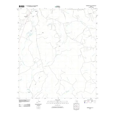
2010 Map of Mormon Mill
USGS Topo · Published 2010About this map
Burnet serves as the northern anchor for this 2010 survey, where the urban street grid of S League St and Old Austin gives way to the winding rural routes of the Texas Hill Country. The landscape is defined by its drainages, including the South Fork San Gabriel River and Hamilton Creek, which feed into local features like the Mill Pond. Significant for genealogists and local historians, this sheet preserves the locations of several family and community burial grounds, such as Holland Cemetery, Norred Cemetery, and the eponymous Mormon Mill Cemetery. Outside the primary settlement, smaller communities like Gandy appear alongside the infrastructure of Burnet Municipal Kate Craddock Field. The road network, including the distinctively named Oatmeal Loop, reflects the area's agricultural and ranching heritage.
Find a feature on this map
39 named features on this map. Tap any name to fly to it.
Don’t see what you’re looking for? This feature index may not catch every label — zoom into the map to look around manually.
Map Details
Editions of this 2010 Mormon Mill Map
This is the sole edition of this map. No revisions or reprints were ever made.
Other maps of this area

1887 · Burnet
USGS Topo · 1:125,000

1893 · Burnet
USGS Topo · 1:125,000

1903 · Burnet
USGS Topo · 1:125,000

1909 · Burnet
USGS Topo · 1:125,000

1925 · Burnet 3-d
USGS Topo · 1:48,000

1929 · Marble Falls
USGS Topo · 1:62,500

1932 · Tow
USGS Topo · 1:62,500

1932 · Marble Falls
USGS Topo · 1:62,500

1932 · Bertram
USGS Topo · 1:62,500

1954 · Llano
USGS Topo · 1:250,000