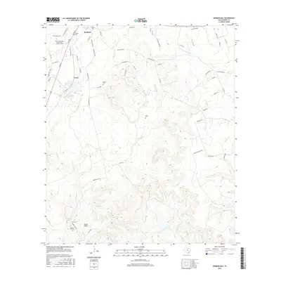
2016 Map of Mormon Mill
USGS Topo · Published 2016About this map
Mormon Mill and the surrounding Hill Country landscape define this 2016 survey of Burnet County. The map details a transition from the urban streets of Burnet in the northwest to the more isolated drainage basins of Hairston Creek and Sycamore Creek. Genealogists will find a high density of burial sites including the Old Burnet Cemetery, Norred Cemetery, and Morman Mill Cemetery. The reliance on local water sources is evident in the naming of Holland Springs and the Mill Pond, while the road network connects smaller points like Gandy via Morman Mills Road. The geography is carved by numerous waterways, such as the South Fork San Gabriel River and Oatmeal Creek, which dictate the placement of ranch roads and crossings across the rugged Burger Hollow terrain.
Find a feature on this map
65 named features on this map. Tap any name to fly to it.
Don’t see what you’re looking for? This feature index may not catch every label — zoom into the map to look around manually.
Map Details
Editions of this 2016 Mormon Mill Map
This is the sole edition of this map. No revisions or reprints were ever made.
Other maps of this area

1887 · Burnet
USGS Topo · 1:125,000

1893 · Burnet
USGS Topo · 1:125,000

1903 · Burnet
USGS Topo · 1:125,000

1909 · Burnet
USGS Topo · 1:125,000

1925 · Burnet 3-d
USGS Topo · 1:48,000

1929 · Marble Falls
USGS Topo · 1:62,500

1932 · Tow
USGS Topo · 1:62,500

1932 · Marble Falls
USGS Topo · 1:62,500

1932 · Bertram
USGS Topo · 1:62,500

1954 · Llano
USGS Topo · 1:250,000