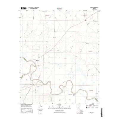
2017 Map of Moro Bay
USGS Topo · Published 2017About this map
The Ouachita River winds through the southern landscape of this 2017 survey, defining the border between Bradley, Calhoun, and Union Counties. This riverine environment is characterized by complex hydrology, including the wide bends of Jacks Island Bend and the distinct channel of Romeo Cut. In the center of the sheet, the community of Moro Bay sits near the confluence of Moro Cr, surrounded by a network of backwaters and sloughs like Paw Paw Slough and Pat Slough. For local historians, the map identifies several smaller settlements and landmarks, including Hilo to the north and the cluster of Pigeon Hills and Oak Grove to the south. These areas are anchored by established grounds such as Hilo Cem and Oak Grove Cem, providing valuable touchpoints for tracing family roots along the river's path.
Find a feature on this map
94 named features on this map. Tap any name to fly to it.
Don’t see what you’re looking for? This feature index may not catch every label — zoom into the map to look around manually.
Map Details
Editions of this 2017 Moro Bay Map
This is the sole edition of this map. No revisions or reprints were ever made.
Other maps of this area

1933 · Strong
USGS Topo · 1:62,500

1934 · Ingalls
USGS Topo · 1:48,000

1934 · Felsenthal
USGS Topo · 1:62,500

1934 · Moro Bay
USGS Topo · 1:62,500

1937 · Strong
USGS Topo · 1:62,500

1937 · Felsenthal
USGS Topo · 1:62,500

1937 · Ingalls
USGS Topo · 1:62,500

1938 · Felsenthal
USGS Topo · 1:62,500

1938 · Moro Bay
USGS Topo · 1:62,500

1939 · Felsenthal
USGS Topo · 1:62,500