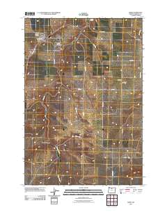
2011 Map of Moro
USGS Topo · Published 2011About this map
Moro serves as the primary hub of this high-plateau landscape, where the local government and community life center around the Moro Post Office and the Sherman County Fairgrounds. The town's layout is bounded by the High School Loop and the American Legion Cemetery, reflecting the organized growth of this rural seat. To the east, the terrain is defined by wide agricultural spans and drainage systems like Rosebush Canyon and Rosebush Creek.
Find a feature on this map
25 named features on this map. Tap any name to fly to it.
Don’t see what you’re looking for? This feature index may not catch every label — zoom into the map to look around manually.
Map Details
Editions of this 2011 Moro Map
This is the sole edition of this map. No revisions or reprints were ever made.
Other maps of this area

1953 · The Dalles
USGS Topo · 1:250,000

1956 · The Dalles
USGS Topo · 1:250,000

1957 · The Dalles
USGS Topo · 1:250,000

1957 · Wasco
USGS Topo · 1:62,500

1957 · Wishram
USGS Topo · 1:62,500

1962 · Erskine
USGS Topo · 1:24,000

1962 · Grass Valley
USGS Topo · 1:24,000

1970 · Indian Cove
USGS Topo · 1:24,000

1970 · Rosebush
USGS Topo · 1:24,000

1971 · Moro
USGS Topo · 1:24,000