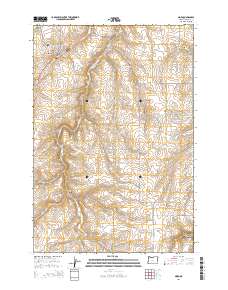
2014 Map of Moro
USGS Topo · Published 2014About this map
The high plateau of Sherman County is defined here by the deep incisions of Gordon Hollow, Barnum Canyon, and Grass Valley Canyon, which shape the landscape around the town of Moro. As the county seat, the town features a compact grid including Main St and Court St, alongside the Sherman County Fairgrounds and the American Legion Cem. To the east, the rural settlements of Lone Rock and Monkland are linked by a network of farm roads like Henrichs Rd and Lone Rock Rd. The southern portion of the map is dominated by the drainage of Rosebush Cr through Rosebush Canyon, illustrating the agricultural reliance on the natural topography for water management and transport routes across this part of the Columbia Plateau.
Find a feature on this map
42 named features on this map. Tap any name to fly to it.
Don’t see what you’re looking for? This feature index may not catch every label — zoom into the map to look around manually.
Map Details
Editions of this 2014 Moro Map
This is the sole edition of this map. No revisions or reprints were ever made.
Other maps of this area

1953 · The Dalles
USGS Topo · 1:250,000

1956 · The Dalles
USGS Topo · 1:250,000

1957 · The Dalles
USGS Topo · 1:250,000

1957 · Wasco
USGS Topo · 1:62,500

1957 · Wishram
USGS Topo · 1:62,500

1962 · Erskine
USGS Topo · 1:24,000

1962 · Grass Valley
USGS Topo · 1:24,000

1970 · Indian Cove
USGS Topo · 1:24,000

1970 · Rosebush
USGS Topo · 1:24,000

1971 · Moro
USGS Topo · 1:24,000