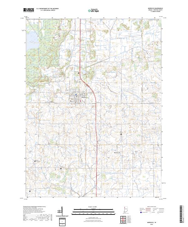
2022 Map of Morocco
USGS Topo · Published 2022About this map
The town of Morocco serves as the primary hub in this portion of Newton County, oriented around the intersection of E State St and the historic corridor of Old US Hwy 41. This modern survey reveals a landscape profoundly shaped by agricultural drainage, evidenced by a dense network of man-made waterways such as Lawler Ditch, Salisbury Ditch, and Deardurff Ditch. These channels lace the terrain between the larger bodies of J C Murphy Lake and Cory Lake, illustrating the long-term transformation of the Kankakee Sands region.
Find a feature on this map
56 named features on this map. Tap any name to fly to it.
Don’t see what you’re looking for? This feature index may not catch every label — zoom into the map to look around manually.
Map Details
Editions of this 2022 Morocco Map
This is the sole edition of this map. No revisions or reprints were ever made.
Other maps of this area

1922 · Momence
USGS Topo · 1:62,500

1924 · Momence
USGS Topo · 1:62,500

1935 · Watseka
USGS Topo · 1:48,000

1939 · Watseka
USGS Topo · 1:62,500

1953 · Chicago
USGS Topo · 1:250,000

1953 · Danville
USGS Topo · 1:250,000

1955 · Danville
USGS Topo · 1:250,000

1956 · Danville
USGS Topo · 1:250,000

1957 · Chicago
USGS Topo · 1:250,000

1961 · Kentland
USGS Topo · 1:24,000