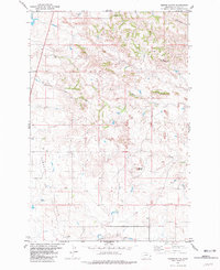
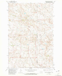
1981 Map of Morris Butte
USGS Topo · Published 1981About this map
The Pennel Oil Field dominates this eastern Montana landscape, where industrial infrastructure meets the natural drainage systems of the high plains. Surveyed in the mid-1970s and edited in 1981, the map reveals a pattern of scattered oil wells and access roads concentrated west of Pennel Creek. This energy production is juxtaposed with early rural landmarks, most notably the O'Donnell Sch, which serves as a vital genealogical marker for local ranching families. The terrain is defined by its namesake Morris Butte and other prominent elevations like Grassy Butte and Cedar Butte, which rise above the winding paths of Cottonwood Creek and Johny Creek. The presence of these named schools and family-referenced landforms provides a clear view of the intersection between traditional land use and the development of the region's petroleum resources during the late twentieth century.
Find a feature on this map
13 named features on this map. Tap any name to fly to it.
Don’t see what you’re looking for? This feature index may not catch every label — zoom into the map to look around manually.
Map Details
Editions of this 1981 Morris Butte Map
This is the sole edition of this map. No revisions or reprints were ever made.
Other maps of this area

1953 · Miles City
USGS Topo · 1:250,000

1957 · Miles City
USGS Topo · 1:250,000

1958 · Miles City
USGS Topo · 1:250,000
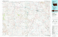
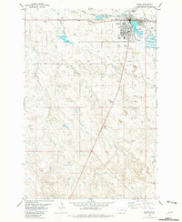
1981 · Baker
USGS Topo · 1:100,000
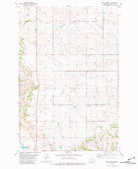
1981 · Baker NE
USGS Topo · 1:24,000
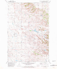
1981 · Buffalo Reservoir
USGS Topo · 1:24,000
1981 · Baker
USGS Topo · 1:24,000
1981 · Badland Draw
USGS Topo · 1:24,000
1981 · Shell Butte
USGS Topo · 1:24,000
1981 · Rush Hall Reservoir
USGS Topo · 1:24,000