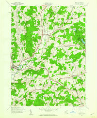
1943 Map of Morris
USGS Topo · Published 1960About this map
Butternut Creek carves through this mid-century landscape of Otsego County, anchoring the village of Morris and several smaller upland settlements. The area shows a mature rural infrastructure of the early 1940s, where traditional watercourses like Wharton Creek and Stony Creek dictated the placement of hamlets such as New Lisbon and West Laurens. Genealogists will find a significant concentration of family and community burial grounds, including the Hillington Cemetery, Chapin Cem, and the uniquely named Bennett Weatherly Cem. To the east, the established Gilbert Lake State Park features the Lookout Tower and Duck Pond, reflecting the era's focus on conservation and public recreation. The presence of numerous numbered schoolhouses, such as School No 9, alongside small crossroads like Naylor Corners, illustrates a decentralized local society before the widespread consolidation of rural districts.
Find a feature on this map
36 named features on this map. Tap any name to fly to it.
Don’t see what you’re looking for? This feature index may not catch every label — zoom into the map to look around manually.
Map Details
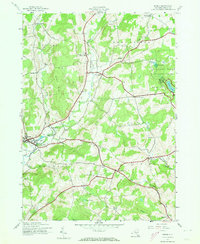
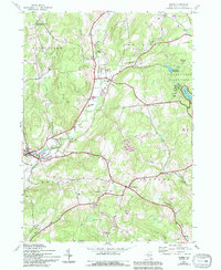
Editions of this 1943 Morris Map
3 editions found
Other maps of this area

1910 · Hartwick
USGS Topo · 1:62,500

1910 · New Berlin
USGS Topo · 1:62,500

1912 · New Berlin
USGS Topo · 1:62,500

1912 · Hartwick
USGS Topo · 1:62,500

1915 · Oneonta
USGS Topo · 1:62,500

1915 · Unadilla
USGS Topo · 1:62,500

1918 · Unadilla
USGS Topo · 1:62,500

1918 · Oneonta
USGS Topo · 1:62,500

1943 · Mt Vision
USGS Topo · 1:24,000

1943 · New Berlin North
USGS Topo · 1:24,000