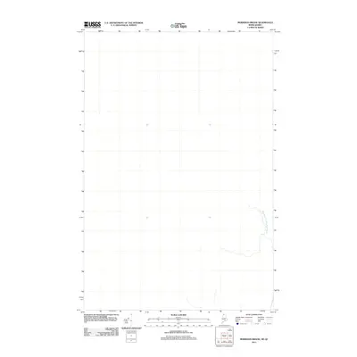
2011 Map of Morrison Brook
USGS Topo · Published 2011About this map
The West Branch Little Black River defines this remote stretch of the international border between Maine and Quebec. As documented in this 2011 survey, the landscape is almost entirely defined by its hydrological systems, with the river meandering through a densely forested and largely unsettled corridor. The drainage patterns shown here illustrate the primary natural boundary in this northernmost region, where the terrain remains dominated by the waterway's path rather than human infrastructure or development. The lack of roads or established settlements on this specific sheet highlights the wilderness character of the area where the United States and Canada meet.
Find a feature on this map
1 named feature on this map. Tap any name to fly to it.
Don’t see what you’re looking for? This feature index may not catch every label — zoom into the map to look around manually.
Map Details
Editions of this 2011 Morrison Brook Map
This is the sole edition of this map. No revisions or reprints were ever made.
Other maps of this area

1955 · Rocky Mountain
USGS Topo · 1:62,500

1955 · Little East Lake
USGS Topo · 1:62,500

1955 · Rocky Brook
USGS Topo · 1:62,500

1962 · Edmundston
USGS Topo · 1:250,000

1976 · East Lake
USGS Topo · 1:24,000
1987 · Saint-Eleuthere
USGS Topo · 1:24,000
1987 · Morrison Brook
USGS Topo · 1:24,000
1987 · Rocky Mountain
USGS Topo · 1:24,000
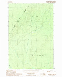
1987 · Rocky Mtn NW
USGS Topo · 1:24,000
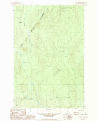
1987 · Rocky Brook
USGS Topo · 1:24,000