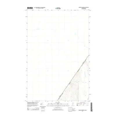
2014 Map of Morrison Brook
USGS Topo · Published 2014About this map
The international boundary between the United States and Canada defines this remote section of northern Maine. Situated within Aroostook County, the landscape is dominated by the dense drainage networks of the North Woods, where Morrison Brook flows through steep relief before joining the waters of the W Br Little Black River. The topography here is characterized by significant elevation changes, with contours rising sharply from the river valleys. Human activity is sparse, marked primarily by the presence of Estcourt Rd at the southeastern corner of the quadrangle. This area represents a critical point of geographic transition where the commercial timberlands of Maine meet the provincial border of Quebec, emphasizing the natural barriers and isolated waterways that have long shaped the borderland history of the Northeast.
Find a feature on this map
6 named features on this map. Tap any name to fly to it.
Don’t see what you’re looking for? This feature index may not catch every label — zoom into the map to look around manually.
Map Details
Editions of this 2014 Morrison Brook Map
This is the sole edition of this map. No revisions or reprints were ever made.
Other maps of this area

1955 · Rocky Mountain
USGS Topo · 1:62,500

1955 · Little East Lake
USGS Topo · 1:62,500

1955 · Rocky Brook
USGS Topo · 1:62,500

1962 · Edmundston
USGS Topo · 1:250,000

1976 · East Lake
USGS Topo · 1:24,000
1987 · Saint-Eleuthere
USGS Topo · 1:24,000
1987 · Morrison Brook
USGS Topo · 1:24,000
1987 · Rocky Mountain
USGS Topo · 1:24,000
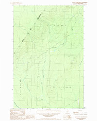
1987 · Rocky Mtn NW
USGS Topo · 1:24,000
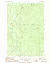
1987 · Rocky Brook
USGS Topo · 1:24,000