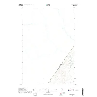
2018 Map of Morrison Brook
USGS Topo · Published 2018About this map
The international border between Canada and the United States cuts diagonally across the southern portion of this landscape, defining the intersection of northern Maine and Quebec. The terrain is dominated by the hydrology of the North Woods, specifically the W Br Little Black River and its tributary, Morrison Br. This area represents a managed forest environment where modern infrastructure is minimal, represented primarily by the winding path of Irving Rd in the southeastern corner. The map illustrates the topographic transition from the river lowlands up into the higher elevations of the surrounding mountains, providing a precise record of the borderland’s physical geography in the early twenty-first century.
Find a feature on this map
4 named features on this map. Tap any name to fly to it.
Don’t see what you’re looking for? This feature index may not catch every label — zoom into the map to look around manually.
Map Details
Editions of this 2018 Morrison Brook Map
This is the sole edition of this map. No revisions or reprints were ever made.
Other maps of this area

1955 · Rocky Mountain
USGS Topo · 1:62,500

1955 · Little East Lake
USGS Topo · 1:62,500

1955 · Rocky Brook
USGS Topo · 1:62,500

1962 · Edmundston
USGS Topo · 1:250,000

1976 · East Lake
USGS Topo · 1:24,000
1987 · Saint-Eleuthere
USGS Topo · 1:24,000
1987 · Morrison Brook
USGS Topo · 1:24,000
1987 · Rocky Mountain
USGS Topo · 1:24,000
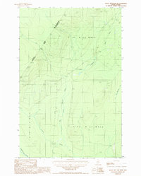
1987 · Rocky Mtn NW
USGS Topo · 1:24,000
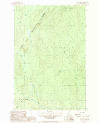
1987 · Rocky Brook
USGS Topo · 1:24,000