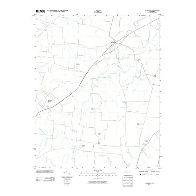
2010 Map of Morrison
USGS Topo · Published 2010About this map
Morrison serves as the central hub of this Middle Tennessee landscape, where the intersection of local roads and the rail corridor anchors the community. The topography is defined by the rise of Summitville Mountain and Burks Hill, which overlook a network of hydrologic features including West Fork Hickory Creek and the marshy grounds of Grassy Pond. Genealogists will find significant value in the numerous family and community burial grounds documented here, such as Richard Cemetery, Stroud Cemetery, and the Cunningham Cemetery near the southeastern corner.
Find a feature on this map
82 named features on this map. Tap any name to fly to it.
Don’t see what you’re looking for? This feature index may not catch every label — zoom into the map to look around manually.
Map Details
Editions of this 2010 Morrison Map
This is the sole edition of this map. No revisions or reprints were ever made.
Other maps of this area

1893 · Mc Minnville
USGS Topo · 1:125,000

1895 · Mc Minnville
USGS Topo · 1:125,000

1895 · Sewanee
USGS Topo · 1:125,000

1913 · Hollow Springs
USGS Topo · 1:62,500

1936 · Fredonia
USGS Topo · 1:24,000

1936 · Manchester
USGS Topo · 1:24,000

1936 · Petty Gap
USGS Topo · 1:24,000

1936 · Morrison
USGS Topo · 1:24,000

1936 · Hillsboro
USGS Topo · 1:24,000

1936 · Cane Hollow
USGS Topo · 1:24,000