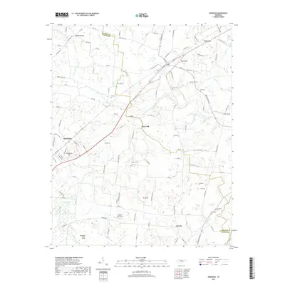
2019 Map of Morrison
USGS Topo · Published 2019About this map
Morrison sits at a crossroads of Warren and Coffee counties, positioned along the Highland Rim where the landscape transitions toward the Tennessee Valley Divide. This 2019 survey documents a rural infrastructure defined by small crossroads settlements and family landholdings, such as the cluster around Bryan Mill and the industrial-agricultural interface at Summitville. The terrain is shaped by the headwaters of the West Fork Hickory Creek and its many tributaries, including Bark Camp Fork and Sainville Br. Local history is deeply etched into the land through numerous small burial grounds like Richard Cem, Stroud Cem, and Wooten Cem. The presence of the Ragsdale Road Airport and the clear demarcation of the county lines between Warren and Grundy counties highlight the area's modern jurisdictional and transportation layout.
Find a feature on this map
127 named features on this map. Tap any name to fly to it.
Don’t see what you’re looking for? This feature index may not catch every label — zoom into the map to look around manually.
Map Details
Editions of this 2019 Morrison Map
This is the sole edition of this map. No revisions or reprints were ever made.
Other maps of this area

1893 · Mc Minnville
USGS Topo · 1:125,000

1895 · Mc Minnville
USGS Topo · 1:125,000

1895 · Sewanee
USGS Topo · 1:125,000

1913 · Hollow Springs
USGS Topo · 1:62,500

1936 · Fredonia
USGS Topo · 1:24,000

1936 · Manchester
USGS Topo · 1:24,000

1936 · Petty Gap
USGS Topo · 1:24,000

1936 · Morrison
USGS Topo · 1:24,000

1936 · Hillsboro
USGS Topo · 1:24,000

1936 · Cane Hollow
USGS Topo · 1:24,000