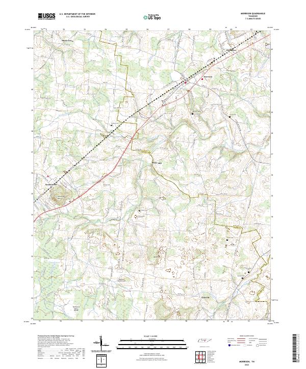
2022 Map of Morrison
USGS Topo · Published 2022About this map
Morrison stands as a primary hub within this rural landscape of the Highland Rim, situated along the county line where Warren Co Coffee Co meet. This 2022 survey captures a countryside defined by small settlements and the headwaters of West Fork Hickory Creek. The topography is shaped by the Tennessee Valley Divide, with drainage flowing toward Grassy Pond and various family-named branches like McAfee Br and Garner Br.
Find a feature on this map
130 named features on this map. Tap any name to fly to it.
Don’t see what you’re looking for? This feature index may not catch every label — zoom into the map to look around manually.
Map Details
Editions of this 2022 Morrison Map
This is the sole edition of this map. No revisions or reprints were ever made.
Other maps of this area

1893 · Mc Minnville
USGS Topo · 1:125,000

1895 · Mc Minnville
USGS Topo · 1:125,000

1895 · Sewanee
USGS Topo · 1:125,000

1913 · Hollow Springs
USGS Topo · 1:62,500

1936 · Fredonia
USGS Topo · 1:24,000

1936 · Manchester
USGS Topo · 1:24,000

1936 · Petty Gap
USGS Topo · 1:24,000

1936 · Morrison
USGS Topo · 1:24,000

1936 · Hillsboro
USGS Topo · 1:24,000

1936 · Cane Hollow
USGS Topo · 1:24,000