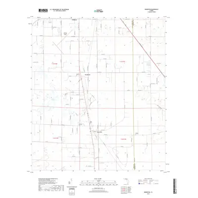
2018 Map of Morriston
USGS Topo · Published 2018About this map
Williston and the neighboring settlements of Montbrook and Morriston anchor this portion of Levy County, characterized by a mix of agricultural plots and family heritage sites. The landscape is dotted with small, localized burial grounds including Sistrunk Family Cem, Plummers Cem, and Barber Family Cem, reflecting the deep-rooted genealogical history of these rural communities. To the north, the Williston Municipal Airport marks a more modern addition to the terrain, while Lake Stafford provides a notable hydrographic feature in an otherwise well-drained area. The boundary with Marion County is visible on the eastern edge of the map, crossed by historical thoroughfares such as Old Blichton Rd. This 2018 survey illustrates the persistent rural character of North Central Florida, where small-scale homesteads and named family cemeteries remain prominent landmarks amidst the evolving transportation network of county roads and highways.
Find a feature on this map
95 named features on this map. Tap any name to fly to it.
Don’t see what you’re looking for? This feature index may not catch every label — zoom into the map to look around manually.
Map Details
Editions of this 2018 Morriston Map
This is the sole edition of this map. No revisions or reprints were ever made.
Other maps of this area

1892 · Dunnellon
USGS Topo · 1:62,500

1894 · Dunnellon
USGS Topo · 1:62,500

1895 · Williston
USGS Topo · 1:62,500

1954 · Romeo
USGS Topo · 1:24,000

1954 · Cotton Plant
USGS Topo · 1:24,000

1954 · Dunnellon
USGS Topo · 1:62,500

1954 · Gainesville
USGS Topo · 1:250,000

1955 · Tidewater
USGS Topo · 1:24,000

1955 · Bronson NE
USGS Topo · 1:24,000

1955 · Bronson SE
USGS Topo · 1:24,000