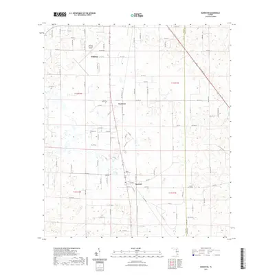
2021 Map of Morriston
USGS Topo · Published 2021About this map
Williston anchors the northern edge of this North Central Florida landscape, where the modern operations of the Williston Municipal Airport contrast with the deep-rooted settlement patterns of the surrounding countryside. Moving south, the map reveals the smaller communities of Montbrook and Morriston, situated along a primary transit corridor that follows the historic path of Old Blitchton Rd. The area is notably dense with family burial grounds and small church yards, including the Sistrunk Family Cem, Plummers Cem, and Barber Family Cem. These sites, along with the Church of Christ Cem, provide significant touchstones for genealogical research in this part of Levy County. The terrain is characterized by numerous small depressions and sinkholes typical of the regional karst topography, which has influenced the winding layout of local routes like NW 154th Avenue Rd.
Find a feature on this map
90 named features on this map. Tap any name to fly to it.
Don’t see what you’re looking for? This feature index may not catch every label — zoom into the map to look around manually.
Map Details
Editions of this 2021 Morriston Map
This is the sole edition of this map. No revisions or reprints were ever made.
Other maps of this area

1892 · Dunnellon
USGS Topo · 1:62,500

1894 · Dunnellon
USGS Topo · 1:62,500

1895 · Williston
USGS Topo · 1:62,500

1954 · Romeo
USGS Topo · 1:24,000

1954 · Cotton Plant
USGS Topo · 1:24,000

1954 · Dunnellon
USGS Topo · 1:62,500

1954 · Gainesville
USGS Topo · 1:250,000

1955 · Tidewater
USGS Topo · 1:24,000

1955 · Bronson NE
USGS Topo · 1:24,000

1955 · Bronson SE
USGS Topo · 1:24,000