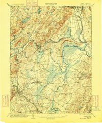
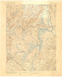
1906 Map of Morristown
USGS Topo · Published 1909About this map
The industrial and transit landscape of northern New Jersey is visible in detail here, centered on the complex intersection of the Morris Canal and several major railroad lines. Heavy industry and resource extraction are prominent, notably at the Beach Glen Mine and the iron-mining center of Hibernia. The Rockaway River winds through the northern hills, powering settlements like Boonton and Denville while feeding the critical Morris Canal Feeder.
Find a feature on this map
122 named features on this map. Tap any name to fly to it.
Don’t see what you’re looking for? This feature index may not catch every label — zoom into the map to look around manually.
Map Details
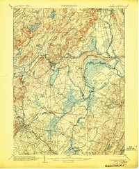
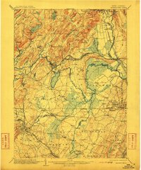
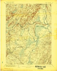
Editions of this 1906 Morristown Map
6 editions found

Other maps of this area

1888 · Franklin
USGS Topo · 1:62,500

1888 · Plainfield
USGS Topo · 1:62,500

1888 · Morristown
USGS Topo · 1:62,500

1888 · Lake Hopatcong
USGS Topo · 1:62,500

1888 · Paterson
USGS Topo · 1:62,500

1891 · Somerville
USGS Topo · 1:62,500

1891 · Greenwood Lake
USGS Topo · 1:62,500

1891 · Ramapo
USGS Topo · 1:62,500

1892 · Paterson
USGS Topo · 1:62,500

1893 · Plainfield
USGS Topo · 1:62,500