
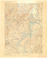
1906 Map of Morristown
USGS Topo · Published 1923About this map
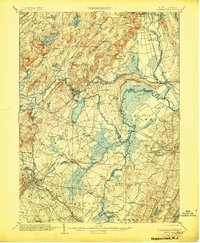
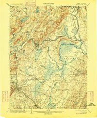
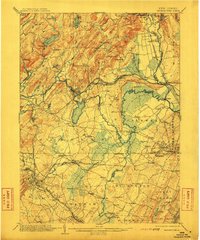
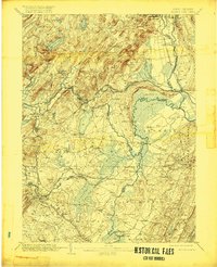
The Morris Canal and its attendant Morris Canal Feeder dominate the eastern landscape of this early twentieth-century survey, illustrating the complex water-borne transit systems that once defined northern New Jersey. The terrain is characterized by the prominent ridges of the Watchung Mountains and Orange Mountain, which funnel the Passaic River and Pompton River through low-lying marshlands like the Boundary Line Meadows. This interplay of high ground and wetland dictated the placement of long-standing river crossings, such as Cooks Bridge and Columbia Bridge, and the clustering of settlements like Hanover Neck and Two Bridges.
Find a feature on this map
116 named features on this map. Tap any name to fly to it.
Don’t see what you’re looking for? This feature index may not catch every label — zoom into the map to look around manually.
Map Details
Editions of this 1906 Morristown Map
6 editions found
Other maps of this area

1888 · Franklin
USGS Topo · 1:62,500

1888 · Plainfield
USGS Topo · 1:62,500

1888 · Morristown
USGS Topo · 1:62,500

1888 · Lake Hopatcong
USGS Topo · 1:62,500

1888 · Paterson
USGS Topo · 1:62,500

1891 · Somerville
USGS Topo · 1:62,500

1891 · Greenwood Lake
USGS Topo · 1:62,500

1891 · Ramapo
USGS Topo · 1:62,500

1892 · Paterson
USGS Topo · 1:62,500

1893 · Plainfield
USGS Topo · 1:62,500