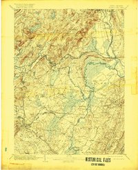
1906 Map of Morristown
USGS Topo · Published 1918About this map
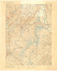
Splitrock Pond and the high ridges of Green Pond Mountain define the northern reaches of this New Jersey landscape, which records a complex network of waterways and early transport. The Morris Canal and its feeder wind through the terrain near Mountain View and Lincoln Park, illustrating the era's reliance on artificial waterways alongside the growing reach of the Delaware Lackawanna and Western Railroad. Low-lying wetlands like the Great Piece Meadows and Hatfield Swamp dominate the central basin, where the Passaic River and Whippany River converge.
Find a feature on this map
108 named features on this map. Tap any name to fly to it.
Don’t see what you’re looking for? This feature index may not catch every label — zoom into the map to look around manually.
Map Details
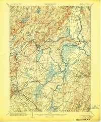
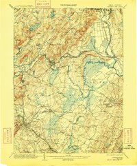
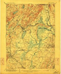
Editions of this 1906 Morristown Map
6 editions found

Other maps of this area

1888 · Franklin
USGS Topo · 1:62,500

1888 · Plainfield
USGS Topo · 1:62,500

1888 · Morristown
USGS Topo · 1:62,500

1888 · Lake Hopatcong
USGS Topo · 1:62,500

1888 · Paterson
USGS Topo · 1:62,500

1891 · Somerville
USGS Topo · 1:62,500

1891 · Greenwood Lake
USGS Topo · 1:62,500

1891 · Ramapo
USGS Topo · 1:62,500

1892 · Paterson
USGS Topo · 1:62,500

1893 · Plainfield
USGS Topo · 1:62,500