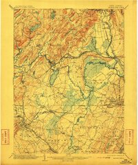
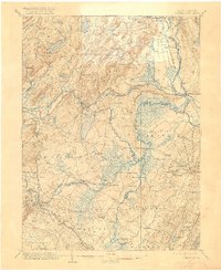
1906 Map of Morristown
USGS Topo · Published 1912About this map
The Rockaway River and Passaic River drain this complex industrial and agricultural landscape at the turn of the century, where the mountains of Morris County meet the expansive Meadows of the east. This era is defined by the legacy of the iron industry, anchored by the Hibernia Mine RR serving Hibernia, and the hydraulic engineering of the Morris Canal Feeder. Regional centers like Boonton and Whippany are shown connected by the Delaware Lackawanna and Western Railroad, while the northern portion reveals the rugged terrain of Green Pond Mountain and Copperas Mt.
Find a feature on this map
121 named features on this map. Tap any name to fly to it.
Don’t see what you’re looking for? This feature index may not catch every label — zoom into the map to look around manually.
Map Details
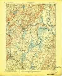
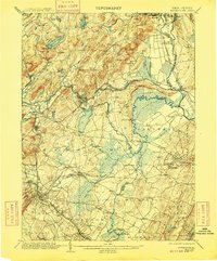
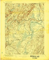
Editions of this 1906 Morristown Map
6 editions found

Other maps of this area

1888 · Franklin
USGS Topo · 1:62,500

1888 · Plainfield
USGS Topo · 1:62,500

1888 · Morristown
USGS Topo · 1:62,500

1888 · Lake Hopatcong
USGS Topo · 1:62,500

1888 · Paterson
USGS Topo · 1:62,500

1891 · Somerville
USGS Topo · 1:62,500

1891 · Greenwood Lake
USGS Topo · 1:62,500

1891 · Ramapo
USGS Topo · 1:62,500

1892 · Paterson
USGS Topo · 1:62,500

1893 · Plainfield
USGS Topo · 1:62,500